

Federation Peak
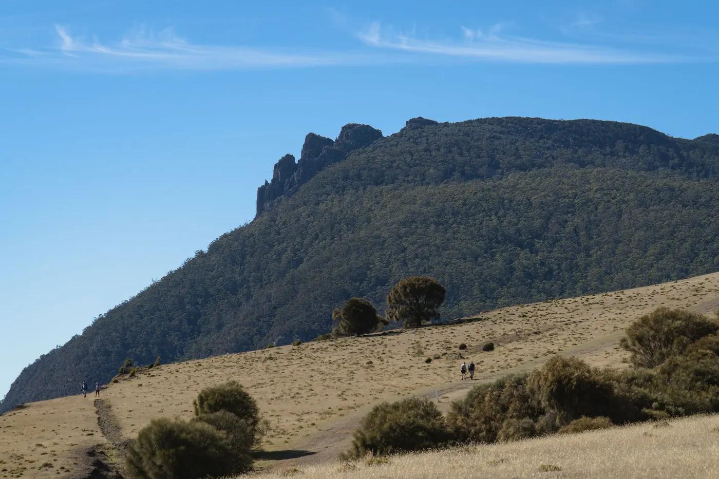
Federation Peak - a fang of quartzite in the remote Southwest, often called Australia’s hardest bushwalk
The route
The line through Southwest NP, Tasmania, Australia - waypoints, elevation and the day-by-day shape of the walk.
Waypoints
- 1Hobart trailheadTrailhead
Start of route [interpolated - upgrade in research]
Approximate node - GPS and name to be upgraded in deeper research.
- 2Intermediate camp/villageCamp
Staging point (approx) [interpolated - upgrade in research]
Approximate node - GPS and name to be upgraded in deeper research.
- 3Intermediate camp/villageCamp
Staging point (approx) [interpolated - upgrade in research]
Approximate node - GPS and name to be upgraded in deeper research.
- 4High point / turnaroundSummit
Turnaround (out-and-back) [interpolated - upgrade in research]
Approximate node - GPS and name to be upgraded in deeper research.
Season & conditions
Dec-Mar (the settled-weather window)
Southwest Tasmania’s brutal weather - rain, wind, cold; long weather-bound waits
Attempt only Dec-Mar in settled weather; the summit climb is deadly when wet. Confirm.
On the trail
Trackless buttongrass, dense scrub, deep mud, and an exposed summit climb
Non-technical walking/hiking; confirm any exposed or scrambly sections locally
Marked/waymarked route; navigation generally straightforward - carry a map and confirm locally
Suitable for reasonably fit hikers; not wheelchair accessible - confirm specifics
Very few - a serious undertaking
Turn back at Bechervaise Plateau if the summit is wet/dangerous
Getting there & staying
Farmhouse Creek or the Eastern Arthurs approach
Out-and-back/loop - no shuttle needed
None - tent, self-sufficient
Layered outdoor kit, sturdy footwear, sun/rain protection, ample water; patchy mobile coverage - carry a map/PLB where remote
Services in Hobart; limited or none on the trail
Not required; only for very experienced, self-reliant parties
Permits & safety
Parks pass; no huts - fully self-sufficient wilderness. Confirm.
Permits and operators change - confirm before booking.
Exposed summit climbing with fatal-fall potential, mud, scrub, navigation, weather, remoteness
Retrace the route to exit; dial local emergency services; carry a means of calling for help where remote
This profile is desk research, compiled from public sources - not a first-hand trail report. Coordinates are approximate.