

Skyline Trail
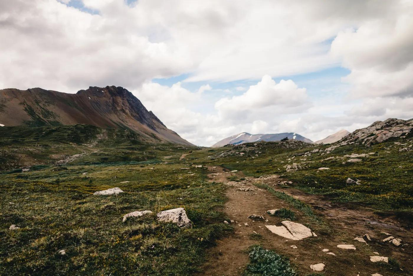
Jasper’s high country - the Maligne Range skyline, Curator and Amber Mountain, endless alpine
The route
The line through Jasper NP, Alberta, Canada - waypoints, elevation and the day-by-day shape of the walk.
Waypoints
- 1Maligne LakeTrailhead
South start
- 2SnowbowlCamp
Above treeline
- 3CuratorCamp
Below the Notch
- 4The NotchPass
High point; wind/snow
- 5Signal Mountain (exit)Trailhead
North finish; fire road
Season & conditions
Jul-Sep
Exposed alpine weather - wind, cold, storms with little shelter
Best Jul-Sep once the Notch melts out; snow lingers early. Confirm.
On the trail
Mostly above-treeline alpine ridge, tundra, the exposed Notch
Non-technical walking/hiking; confirm any exposed or scrambly sections locally
Marked/waymarked route; navigation generally straightforward - carry a map and confirm locally
Suitable for reasonably fit hikers; not wheelchair accessible - confirm specifics
Black and grizzly bear country - carry bear spray, travel in groups, store food properly; caribou, marmots, ptarmigan
Popular; campsite-gated
Hike either direction; the Skyline is often done north-to-south (net descent)
Getting there & staying
Maligne Lake (south) to Signal Mtn/Maligne Rd (north)
Point-to-point; arrange a shuttle between the trailheads
Backcountry campgrounds (reservation); no huts
Layered outdoor kit, sturdy footwear, sun/rain protection, ample water; patchy mobile coverage - carry a map/PLB where remote
Services in Jasper; limited or none on the trail
Not required; self-guided
Permits & safety
Parks Canada Wilderness Pass + reserved backcountry campsites (competitive). Confirm.
Permits and operators change - confirm before booking.
Black and grizzly bear country - carry bear spray, travel in groups, store food properly; exposure with few bail-outs, the Notch snow/wind, weather
Retrace the route to exit; dial local emergency services; carry a means of calling for help where remote
This profile is desk research, compiled from public sources - not a first-hand trail report. Coordinates are approximate.