

Tour du Mont Blanc
Also known as: TMB
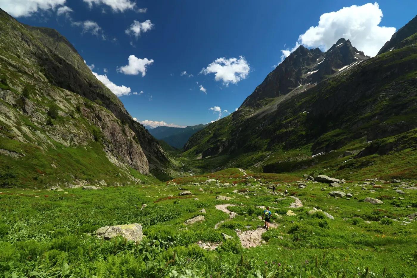
Full circuit of the Mont Blanc massif (4,807 m) across France, Italy and Switzerland; glaciers, Val Veny and Val Ferret pastures, Lac Blanc, Grand Col Ferret
The route
The line through Mont Blanc massif (FR/IT/CH), France - waypoints, elevation and the day-by-day shape of the walk.
Waypoints
- 1Les Houches (start/finish)Trailhead
Standard TMB start; bus from Chamonix
- 2Les ContaminesJunction
Village; shops, ATM
recommended · mid-Jun to mid-Sep - 3Refuge de la Croix du BonhommeJunction
High pass refuge; pack overnight kit in daypack
required · mid-Jun to mid-Sep - 4Rifugio Elisabetta (Italy)Junction
Enters Italy via Col de la Seigne (2,516 m)
recommended · mid-Jun to mid-Sep - 5Courmayeur (Italy)Junction
Val Veny; resupply, ATM, cafes
recommended - 6Rifugio Bonatti (Italy)Junction
Val Ferret balcony; iconic Grandes Jorasses views
required · mid-Jun to mid-Sep - 7La Fouly (Switzerland)Junction
Enters Switzerland via Grand Col Ferret (2,537 m)
recommended · mid-Jun to mid-Sep - 8Champex-Lac (Switzerland)Junction
Longest no-accommodation gap ends here (~15 km)
recommended - 9Trient (Switzerland)Junction
Via Fenetre d'Arpette (2,665 m) or Bovine variant
recommended · mid-Jun to mid-Sep - 10Tre-le-Champ / Argentiere (France)Variant split
Re-enters France; Lac Blanc / Grand Balcon Sud finale variant
recommended - 11Les Houches (finish via La Flegere)Trailhead
Grand Balcon Sud / Lac Blanc finale then descent
Season & conditions
Mid-June to mid-September; July-August busiest (avoid the first two weeks of August); September quieter and moodier
Fast-changing alpine weather, afternoon thunderstorms, cold/snow on high cols even in summer; some refuges out of cell coverage
Alpine wildflower meadows (Jun-Jul); larch colour (late Sep); ibex/chamois/marmot most active in summer
Passes generally clear and refuges open ~mid/late June to mid/late September; snow can linger on high cols into early July. Confirm refuge dates before booking.
On the trail
Mountain footpaths, alpine meadow, rocky passes, forest, some paved village sections
Non-technical on well-graded mountain paths; steep passes; a few exposed/rocky and cabled/laddered sections on variants (Fenetre d'Arpette, Col des Fours); no glacier travel
Waymarked red/white (GR) the whole way; easy to follow; solo common and safe on this busy route
Fit walkers able to do consecutive 15 km / 800 m days; not wheelchair/stroller; older teens+ common; single stages easily done as lift-assisted day hikes for non-through-hikers; dogs discouraged (livestock guardian dogs, huts, Aiguilles Rouges reserve section bans them)
Ibex (bouquetin), chamois, marmots, alpine choughs; golden eagle (probability)
Alpine meadows, larch and spruce forest, gentian and alpenrose
Europe's most popular trek (10,000+/year); busy in peak; go clockwise or off-peak for more solitude
Highly modular - 'highlights' itineraries (5-7 days), single day-stages, and lift access (Les Houches, Courmayeur, Chamonix) let a mixed group join or leave; classic variants (Col des Fours, Fenetre d'Arpette, Lac Blanc / Grand Balcon Sud) trade difficulty for scenery
Getting there & staying
Standard start Les Houches (bus from Chamonix; Geneva airport ~1 h; rail to Chamonix); a loop, so start = finish
Loop needs no shuttle, but buses/lifts are widely used to skip stages or bail out (Les Houches, Courmayeur, Champex, Chamonix valley lifts)
Chain of refuges, gites and auberges every stage (half-board); most open ~mid-June to mid/late September; peak beds book 3-6 months ahead; some high refuges (e.g. Croix du Bonhomme) have no road access or luggage transfer. Confirm.
Multi-day pack, layers, waterproofs, boots, poles; refill at refuges/villages; patchy cell coverage, some refuges off-grid; three-country cash/cards (EUR/CHF)
Refuges/gites at every stage (meals, dorms, toilets); villages (Les Contamines, Courmayeur, Champex) have shops, ATMs, cafes; longest accommodation gap La Fouly-Champex (~15 km)
Not required; self-guided is standard; guided and self-guided-with-luggage-transfer operators widely available
Permits & safety
No permit; you pay refuge half-board; wild camping/bivouac rules vary by country and commune. July-August refuges book 3-6 months ahead and sell out very early. Confirm before booking.
Permits and operators change - confirm before booking.
Steep knee-testing descents (Les Houches, Col du Bonhomme), afternoon storms on passes, day-1 blisters; livestock guardian dogs (patous) in pastures
Frequent valley bailouts by bus/lift (Les Houches, Les Contamines, Courmayeur, Champex, Trient, Argentiere); mountain rescue 112 (FR), 118 (IT), 1414/REGA (CH); developed, well-travelled route
This profile is desk research, compiled from public sources - not a first-hand trail report. Coordinates are approximate.