

Fimmvorduhals
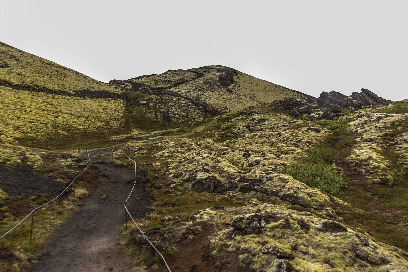
Fimmvörðuháls - from the Skógá waterfall staircase over a pass between Eyjafjallajökull and Mýrdalsjökull, past the fresh 2010 lava
The route
The line through South Iceland highlands, Iceland - waypoints, elevation and the day-by-day shape of the walk.
Waypoints
- 1SkógarTrailhead
Waterfall staircase start
- 2BaldvinsskáliHut
Pass hut
- 32010 eruption cratersJunction
Magni & Móði
- 4ÞórsmörkTrailhead
Finish; links to Laugavegur
Season & conditions
Jul-Sep
Fierce, fast-changing Icelandic weather - wind, rain, snow, whiteout any day
Best Jul-Sep; snow, storms and river crossings otherwise; links to the Laugavegur. Confirm.
On the trail
Waterfall staircase, a pass between two glaciers, and the 2010 eruption craters
Non-technical walking/hiking; confirm any exposed or scrambly sections locally
Marked/waymarked route; navigation generally straightforward - carry a map and confirm locally
Suitable for reasonably fit hikers; not wheelchair accessible - confirm specifics
A popular, well-known route - busier in peak season
Continue onto the Laugavegur to Landmannalaugar; day-hike the Skógá waterfalls only
Getting there & staying
Skógar to Þórsmörk
Point-to-point may need transport between ends - confirm
Baldvinsskáli and Fimmvörðuskáli huts en route
Layered outdoor kit, sturdy footwear, sun/rain protection, ample water; patchy mobile coverage - carry a map/PLB where remote
Services in Skogar / Thorsmork; limited or none on the trail
Not required; self-guided
Permits & safety
No permit; the Baldvinsskáli/Fimmvörðuskáli huts (booked). Confirm.
Permits and operators change - confirm before booking.
Sudden severe weather, river crossings, the fresh lava field, cold
Retrace the route to exit; dial local emergency services; carry a means of calling for help where remote
This profile is desk research, compiled from public sources - not a first-hand trail report. Coordinates are approximate.