

Laugavegur Trail
Also known as: Laugavegurinn, Landmannalaugar to Thorsmork
Landmannalaugar rhyolite mountains & hot springs, Brennisteinsalda fumaroles, Lake Alftavatn, Markarfljot canyon, Thorsmork valley
The route
The line through Southern Highlands (Fjallabak), Iceland - waypoints, elevation and the day-by-day shape of the walk.
Waypoints
- 1LandmannalaugarJunction
78-bed FI hut + campsite; hot spring; bus access
required · late Jun-early Sep - 2HrafntinnuskerJunction
High point; latrine only; snowfields even in July
recommended · late Jun-early Sep - 3AlftavatnJunction
Lakeside; first river crossing; bus access (shorten here)
recommended · late Jun-early Sep - 4Emstrur / BotnarJunction
Black sands; Markarfljot canyon nearby
recommended · late Jun-early Sep - 5ThorsmorkJunction
Trek end; bus out; extend over Fimmvorduhals
recommended · late Jun-early Sep
Season & conditions
Late June-early September (huts + buses operate); July-August most reliable / lowest snow
Rapid highland weather, wind, cold, whiteout; glacial rivers run highest on warm afternoons - ford early
Midnight-sun daylight in June-July; autumn colour & quiet in September; Landmannalaugar geothermal hot spring
~late June to early/mid September; shoulder weeks carry snow/weather risk. Confirm hut & bus operating dates before booking.
On the trail
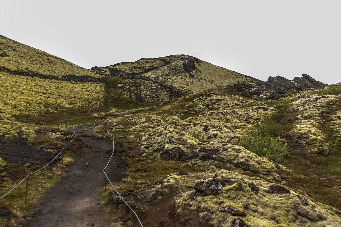
Rhyolite hills, obsidian lava, snowfields, black-sand desert (Maelifellssandur), braided river crossings, moss
Non-technical walking but multiple unbridged glacial river fords (e.g. Blafjallakvisl); snowfields possible even in July; low exposure
Marked with posts; straightforward in clear weather, serious in fog/snow (first two days); carry map/GPS & download offline
Not wheelchair/stroller; suitable for fit teens+ with backpacking experience; not for non-hikers; dogs generally not permitted in the highland reserve (confirm)
Sparse - arctic birds, occasional arctic fox; not a wildlife trek
Moss, highland grasses, limited alpine flora
Popular; you will see others daily in peak; huts sell out months ahead
Shorten by starting/ending at Alftavatn (bus access); extend south over Fimmvorduhals to Skogar (+~25 km); day-loops from Landmannalaugar (Brennisteinsalda / Blahnjukur) suit non-through-hikers
Getting there & staying
Stage from Reykjavik (Keflavik airport). Highland buses (Reykjavik Excursions / Trex) to Landmannalaugar & from Thorsmork in summer; self-drive needs an F-road 4x4 + river fords; Landmannalaugar has a summer daytime vehicle-parking reservation (recent seasons ~09:00-16:00) - confirm current-year rule
Required - point-to-point; scheduled highland buses both ends; book seats ahead
Ferdafelag Islands (FI) huts at Landmannalaugar (78 beds), Hrafntinnusker, Alftavatn, Emstrur/Botnar - dormitory, wardens, kitchens; booking strongly recommended/essential, sells out months ahead; open ~late June-early Sept; camping at designated sites (book ahead); Emstrur combo packages include a pre-pitched tent. Confirm.
Full backpacking kit, water shoes for fords, warm/waterproof layers, offline maps; tap water at huts potable; limited/no mobile reception in the highlands
Wardened huts at each stage with toilets (Hrafntinnusker latrine only), kitchens and small snack/merch sales (cards accepted but carry cash); cold potable tap water at huts; NOTHING between stages; hot-spring bathing at Landmannalaugar
Not required; self-guided is common; guided/portered tours available
Permits & safety
No trekking permit; pay hut/campsite fees; confirmed accommodation booking expected before starting; no wild camping (designated sites only); Landmannalaugar parking reservation for vehicles. Confirm before booking.
Permits and operators change - confirm before booking.
River fords (cross early, unclip hip belt, face upstream, pick widest braid), hypothermia, whiteout navigation; carry cash (no ATMs); wild camping banned
4x4-track bailouts at Alftavatn/Hvanngil and Emstrur (highland buses/jeeps in season); ICE-SAR (Landsbjorg) national rescue - file a travel plan on safetravel.is; emergency shelters along the route; wardens have radio contact; patchy-to-no cell signal
This profile is desk research, compiled from public sources - not a first-hand trail report. Coordinates are approximate.