

Everest Three Passes
Kongma La, Cho La and Renjo La; Everest from Kala Patthar; the Gokyo lakes; a full Khumbu panorama
The route
The line through Khumbu (Sagarmatha NP), Nepal - waypoints, elevation and the day-by-day shape of the walk.
Waypoints
- 1LuklaTrailhead
Fly-in; loop start/finish
- 2Namche BazaarJunction
Acclimatization hub
- 3Chukhung / Kongma LaPass
First pass (highest); to Lobuche
- 4Everest Base Camp / Kala PattharViewpoint
EBC and the Kala Patthar Everest viewpoint
- 5Cho LaPass
Second pass; snow/ice possible; to Gokyo
- 6Gokyo / Renjo LaPass
Third pass; back toward Namche and Lukla
Season & conditions
Oct-Nov and Apr-May
Clear cold mornings clouding by afternoon; heavy monsoon rain and leeches Jun-Aug; winter snow blocks the high passes; pass days are long and cold with real storm/whiteout risk; Lukla flight delays
Sees EBC, Gokyo, Kala Patthar and all three passes - the complete Khumbu tour; autumn clarity
Passes best Oct-Nov and Apr-May; heavy snow can close them - carry traction; monsoon impractical. Confirm.
On the trail
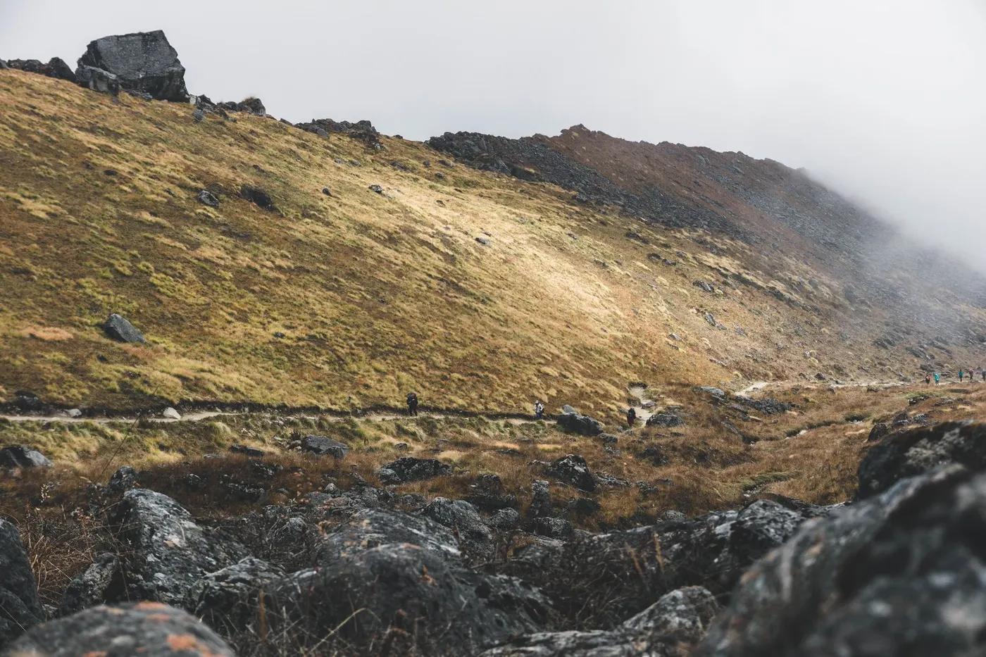
Sherpa villages, glacial moraine, three high scree/snow passes, the Khumbu and Ngozumpa glaciers
Non-technical but the passes have steep scree, boulder and often snow/ice (crampons/axe sometimes useful); long committing days
Cairned passes; a guide is strongly advised and required by national rule; snow can obscure the way
Experienced, very fit, well-acclimatized trekkers only
Langur monkey, Himalayan tahr, danphe (Impeyan pheasant), musk deer; snow leopard/blue sheep in the high remote zones (rarely seen)
Rhododendron and oak/pine forest lower, then juniper scrub and alpine meadow, then rock and snow
Busy on the shared EBC/Gokyo sections, genuinely quiet and wild on the passes
Do it clockwise or anticlockwise; take passes one at a time; bail to the main EBC valley if weather or health turns
Getting there & staying
Fly Kathmandu/Ramechhap to Lukla, then the full Khumbu circuit
Lukla flights (seasonal Ramechhap staging); helicopter charters as backup
Teahouse lodges (private rooms lower down, dorms higher); book ahead in peak season; hot showers/wifi for a fee lower down, basic higher; sparse lodges near the passes - plan stages carefully
Layered trekking kit, down jacket and warm bag for the highs, boots, water purification, cash in NPR (few ATMs on trail); patchy mobile data (Ncell/NTC), some lodges sell wifi; microspikes/crampons and possibly an axe for the passes
Good via Namche/Dingboche/Gokyo; minimal near the passes; carry cash
Licensed guide required for foreign trekkers (national rule since 2023); porters optional; teahouse trek so no camping crew needed; a guide (and often a porter) is strongly recommended for the passes
Permits & safety
Sagarmatha NP entry fee (NPR 3,000) + Khumbu Pasang Lhamu Rural Municipality fee (NPR 2,000-3,000) paid at Lukla/Monjo; no TIMS in Khumbu; national licensed-guide rule applies (Khumbu enforcement has varied - confirm).
Permits and operators change - confirm before booking.
Altitude illness (AMS) is the main danger above ~3,000 m - ascend gradually, hydrate, know the descent rule at extreme sustained altitude; snow/ice on the passes; cold, long days; storm risk
Helicopter evacuation is the norm for serious cases (ensure travel insurance covers heli rescue); health posts at larger villages; descend for altitude illness; passes are committing - evacuation is harder up high
This profile is desk research, compiled from public sources - not a first-hand trail report. Coordinates are approximate.