

Upper Mustang Trek
Also known as: Lo Manthang
The walled capital Lo Manthang, Tibetan gompas, sky-caves, and dramatic wind-carved badlands
The route
The line through Mustang (restricted), Nepal - waypoints, elevation and the day-by-day shape of the walk.
Waypoints
- 1Jomsom (start)Trailhead
Fly/jeep from Pokhara
- 2KagbeniJunction
Gateway to the restricted zone; permit check
- 3Chele / SyangbocheJunction
Entering upper Mustang canyons
- 4Ghami / TsarangJunction
Walled villages and gompas
- 5Lo ManthangJunction
The walled capital; Tiji festival; turn-around
Season & conditions
Mar-Nov - notably a good monsoon-season (Jun-Aug) trek
Strong afternoon wind and dust; cold nights; largely dry
Tiji festival at Lo Manthang (spring); ancient cave dwellings and gompas; a monsoon-season option
Rain-shadow behind the Himalaya, so trekkable through the monsoon; winter is cold and many lodges close. Confirm.
On the trail
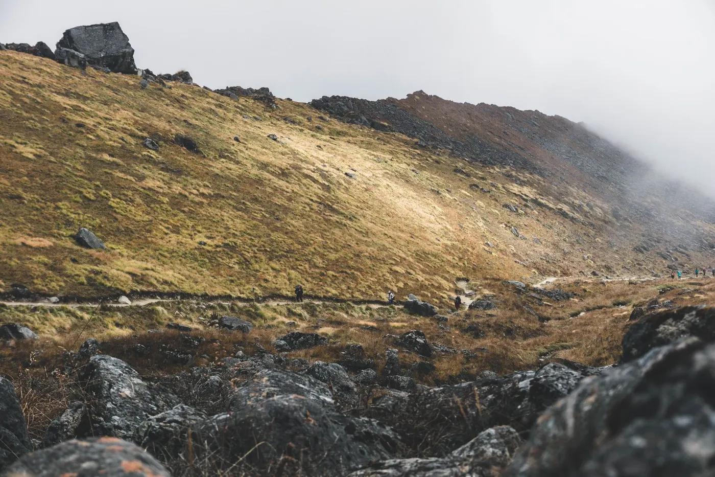
Eroded ochre canyons, high desert plateaus, walled villages and monasteries
Non-technical; long exposed high-desert stages, wind and dust
Guided/agency-organised (restricted area); jeep road now parallels much of the route
Fit trekkers drawn to Tibetan Buddhist culture; the permit cost sets it apart
Blue sheep, Himalayan griffon; the arid zone is sparse
High-desert scrub, barley terraces around villages
Low numbers (the permit gates traffic); a cultural, remote feel
Time the Tiji festival (spring) at Lo Manthang; jeep sections shorten it; side valleys (Chhoser caves)
Getting there & staying
Fly or jeep Pokhara-Jomsom, then trek/jeep north from Kagbeni into the restricted zone
Jomsom flights from Pokhara; jeeps on the Lo Manthang road
Teahouse lodges (private rooms lower down, dorms higher); book ahead in peak season; hot showers/wifi for a fee lower down, basic higher; simpler lodges; some agencies camp
Layered trekking kit, down jacket and warm bag for the highs, boots, water purification, cash in NPR (few ATMs on trail); patchy mobile data (Ncell/NTC), some lodges sell wifi; wind/dust protection; carry ample cash (few services)
Basic lodges and shops in villages; minimal connectivity; Jomsom has more services
Mandatory licensed guide via a registered agency (restricted area)
Permits & safety
Restricted-Area Permit now US$50 per person per day (2026 change ended the old 10-day flat rule; e.g. ~US$400 for 8 days, US$500 for 10) PLUS the ACAP (NPR 3,000); a licensed guide and a registered agency are mandatory (the old two-trekker minimum was scrapped in 2026, so solo is now allowed). Confirm current rules.
Permits and operators change - confirm before booking.
Wind, dust and cold; the high per-day permit cost; remote logistics; moderate altitude
Helicopter evacuation is the norm for serious cases (ensure travel insurance covers heli rescue); health posts at larger villages; descend for altitude illness; the road and Jomsom airstrip aid evacuation
This profile is desk research, compiled from public sources - not a first-hand trail report. Coordinates are approximate.