

Kepler Track
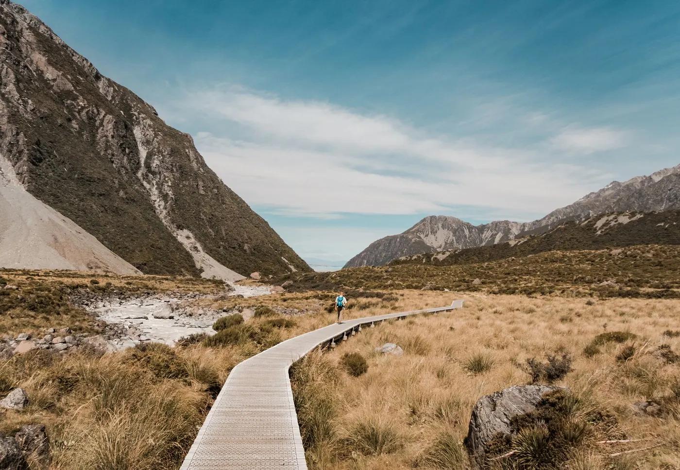
Luxmore ridge and Kepler Mountains, Lake Te Anau and Manapouri panoramas, Iris Burn valley and waterfall
The route
The line through Fiordland NP, New Zealand - waypoints, elevation and the day-by-day shape of the walk.
Waypoints
- 1Kepler / Control Gates (start)Trailhead
Walkable from Te Anau; loop start
- 2Luxmore HutHut
Above bushline; Luxmore Cave and Mt Luxmore side trip
- 3Hanging Valley / high pointPass
Exposed alpine ridge; rock wren country
- 4Iris Burn HutHut
Tussock clearing; Iris Burn waterfall side trip
- 5Moturau Hut (Lake Manapouri)Hut
Lakeside; optional Rainbow Reach exit nearby
- 6Control Gates (finish)Trailhead
Loop close; return to Te Anau
Season & conditions
Late Oct-Apr (Great Walk season)
Severe exposure on the tops - wind, whiteout, hypothermia risk; valley flooding
Alpine flowering Dec-Jan; Luxmore Cave karst; sunset from Luxmore deck
Great Walk season ~27 Oct-30 Apr; ridge holds snow/ice into early summer. Confirm.
On the trail
Beech forest, limestone bluffs, tussock alpine ridge, river flats
Non-technical but the ~8 km alpine ridge is fully exposed to weather; can be dangerous in storm
Excellent, Great Walk standard; ridge poled; solo fine
Fit hikers; the ridge day is the hard part; Moturau/Rainbow Reach section is gentle and family-friendly
Kea, whio, rock wren on the tops, robins; possible kiwi at night
Silver/mountain beech, tussock, alpine herbs
Popular but less oversubscribed than Milford; town-accessible so day-walkers on the lower sections
Can walk out to Rainbow Reach (shuttle) to skip a day; day-walk Luxmore Hut and back; Mt Luxmore summit side trip
Getting there & staying
Starts at the Kepler/Control Gates near Te Anau - walkable (~45 min) or short drive/shuttle from town
Loop needs no shuttle; optional Rainbow Reach shuttle to shorten; Te Anau taxis
DOC huts Luxmore, Iris Burn, Moturau (bunks, gas in season); 2 designated campsites (Brod Bay, Iris Burn)
Full wet/wind kit for the ridge; tank/stream water; little coverage; PLB advised
Hut toilets, bunks, cooking benches; Te Anau full services at the start
Not required; self-guided
Permits & safety
DOC hut booking mandatory in season; 2026/27 ~NZ$102/night international (~NZ$68 NZ resident); bookings for 26/27 opened ~19 May 2026. Confirm current fee.
Permits and operators change - confirm before booking.
Ridge exposure in bad weather is the main risk; check forecast before the Luxmore-Iris Burn day
Rainbow Reach road exit shortens the valley end; hut wardens in season; helicopter evac
This profile is desk research, compiled from public sources - not a first-hand trail report. Coordinates are approximate.