

Key Summit (Routeburn day)
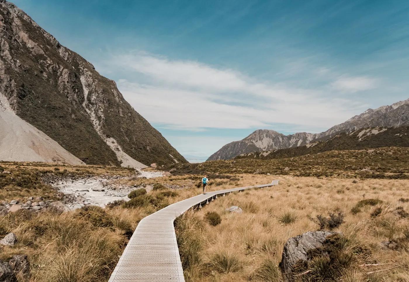
Panorama over the Hollyford, Eglinton and Greenstone valleys; Darran Mountains; wetland tarns
The route
The line through Fiordland NP, New Zealand - waypoints, elevation and the day-by-day shape of the walk.
Season & conditions
Nov-Apr; possible on fine winter days with care
Sits in very high-rainfall Fiordland; the alpine top is exposed to sudden weather
Alpine tarns and bog plants in summer flower; big cloud-sea days
Roughly Nov-Apr snow-free at the top. Confirm.
On the trail
Beech forest climb, then alpine bog boardwalk
Non-technical; a steady graded climb then a boardwalked alpine bog nature loop
Excellent - follows the Routeburn then a signed spur; boardwalk loop at the top
Most reasonably fit walkers, families with older kids; the alpine loop boardwalk is gentle; not wheelchair
Robins, tomtits, kea; alpine birds
Alpine bog herbfield, bog pine, tussock, orchids
Popular day walk off the Milford Rd; can be busy midday
Continue further on the Routeburn to Lake Howden; turn back anytime on the climb
Getting there & staying
The Divide car park on the Milford Rd, ~1.5 h (85 km) from Te Anau
Milford Rd buses stop at The Divide (Tracknet); or drive
None used (day walk); Lake Howden Hut nearby on the Routeburn
Rain shell, layers, water; little phone coverage
Toilet at The Divide shelter; no services on route
Not required; self-guided
Permits & safety
None for the day walk (no hut booking required)
Permits and operators change - confirm before booking.
Weather change on the exposed top; slippery boardwalk when wet
Short return to the road; busy trail
This profile is desk research, compiled from public sources - not a first-hand trail report. Coordinates are approximate.