

Tongariro Northern Circuit
The Tongariro Northern Circuit - the Alpine Crossing plus the volcanic wilds around Ngauruhoe and Tongariro
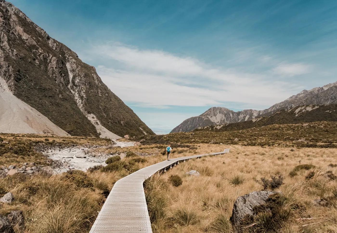
The route
The line through Tongariro NP, New Zealand - waypoints, elevation and the day-by-day shape of the walk.
Waypoints
- 1Whakapapa VillageTrailhead
Loop start
- 2Mangatepopo HutHut
Below the Crossing climb
- 3Red CraterPass
High point; Emerald Lakes
- 4Oturere HutHut
Volcanic desert
- 5Waihohonu HutHut
Largest hut
- 6Whakapapa Village (finish)Trailhead
Loop close
Season & conditions
Nov-Apr
Exposed alpine weather - sudden storms, wind, cold and snow possible; check the forecast and carry a PLB; the exposed sections close in storms
Best Nov-Apr; alpine gear/experience needed in winter. Confirm.
On the trail
Volcanic desert, craters, lava and the Emerald Lakes (absorbs the Crossing)
Non-technical walking/hiking; confirm any exposed or scrambly sections locally
Marked/waymarked route; navigation generally straightforward - carry a map and confirm locally
Suitable for reasonably fit hikers; not wheelchair accessible - confirm specifics
Popular
Do the loop or just the one-day Crossing (see HK-NZ-0004)
Getting there & staying
Whakapapa Village (loop)
Out-and-back/loop - no shuttle needed
DOC Great Walk huts (booked)
Layered outdoor kit, sturdy footwear, sun/rain protection, ample water; patchy mobile coverage - carry a map/PLB where remote
Services in National Park Village; limited or none on the trail
Not required; self-guided
Permits & safety
DOC Great Walk hut booking mandatory in season (fees higher for international visitors); sells out early - book at season opening. Confirm current fees.
Permits and operators change - confirm before booking.
Volcanic terrain, severe alpine weather, active-volcano risk
Retrace the route to exit; dial local emergency services; carry a means of calling for help where remote
This profile is desk research, compiled from public sources - not a first-hand trail report. Coordinates are approximate.