

Ausangate Circuit
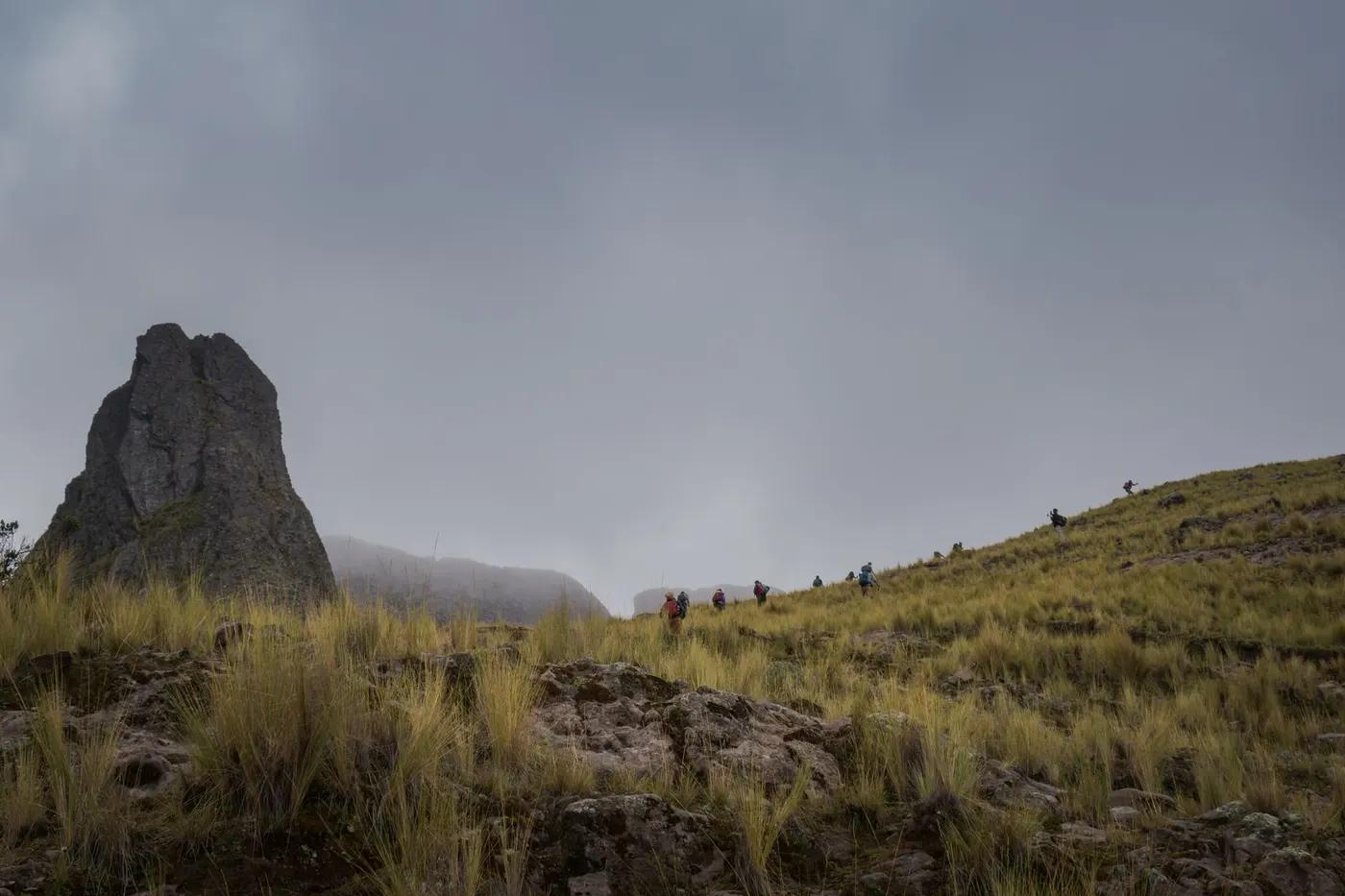
Ausangate (6,384 m, sacred Apu), glacial lakes, Rainbow Mountain, the Red Valley, alpaca herds
The route
The line through Vilcanota Range, Peru - waypoints, elevation and the day-by-day shape of the walk.
Waypoints
- 1Tinke / Upis trailheadTrailhead
3-4 h from Cusco; community fees en route
- 2Upis (camp, hot springs)Junction
High cold camp; hot springs
- 3Palomani PassSummit
Highest pass; snow/ice possible
- 4Ausangate glacial lakesVariant split
Turquoise/red lakes below the glacier
- 5Rainbow Mountain (Vinicunca)Viewpoint
Combo option; very busy section
- 6Pacchanta (hot-springs finish)Junction
Hot springs; loop exit
recommended · dry season
Season & conditions
Dry Apr-Oct (May-Sep best - cold but clear); avoid wet Nov-Mar (snow at altitude)
Intense cold, wind and UV at altitude; night frosts even in the dry season
Turquoise and red glacial lakes, Rainbow Mountain (Vinicunca) colours, alpaca-herding culture, Pacchanta hot springs
Dry season; passes can be snowbound in the wet season; cold and frost possible year-round. Confirm.
On the trail
High puna, glacial passes, moraine, altiplano lakes
Non-technical walking but multiple days sleeping above 4,600 m, cold and remote; must be well acclimatized
Remote high puna; a guide and arriero (horseman) are strongly advised
Acclimatized, experienced high-altitude trekkers with warm gear; not for beginners, kids or wheelchair users
Alpaca and llama (herded), vicuna, Andean condor, viscacha
Puna grass and cushion plants; sparse
Quiet on the full circuit; the Rainbow Mountain section is very busy
Ausangate + Rainbow Mountain combo; shorter 3-4 day versions; Pacchanta hot-springs finish
Getting there & staying
Cusco to Tinke / Upis trailhead (~3-4 h); loop
Private transfer Cusco to Tinke; loop back or exit at Pacchanta
Mostly camping (some basic community shelters/domes near Rainbow Mountain); high cold camps; operator tents
Serious cold-weather kit, -10 to -15C bag, sun protection; treat water; no coverage; cash for community fees
Essentially none - self-sufficient; Pacchanta has hot springs and basic lodging at the end
Guide + arriero with pack horses strongly advised; remote, high and cold
Permits & safety
Community fees collected en route by local communities; no central permit; carry cash and confirm current amounts.
Permits and operators change - confirm before booking.
Altitude (sleeping above 4,600 m) is the crux - acclimatize in Cusco first; cold and exposure; remote rescue
Horses for evacuation; very remote - descend for altitude illness; no quick road access mid-circuit
This profile is desk research, compiled from public sources - not a first-hand trail report. Coordinates are approximate.