

Choquequirao Trek
The Apurimac Canyon (~1,500 m deep), Choquequirao terraces and plazas, Padreyoc peak, soaring condors
The route
The line through Apurimac canyon, Peru - waypoints, elevation and the day-by-day shape of the walk.
Waypoints
- 1Cachora / Capuliyoc trailheadTrailhead
4 h drive from Cusco; canyon viewpoint
- 2Chiquisca (camp)Junction
Descending into the canyon
recommended · year-round - 3Playa Rosalina (Apurimac river)Junction
Lowest point; hot; river camp
recommended · year-round - 4Marampata (camp)Junction
Long climb out; near the ruins
recommended · year-round - 5Choquequirao ruinsSummit
'Cradle of Gold'; entrance ticket at site
Season & conditions
Dry Apr-Oct (Apr-May and Sep-Oct most pleasant); avoid wet Nov-Mar; the lower canyon is very hot
Intense canyon heat and dehydration, cold nights higher up, strong sun exposure
A quiet Inca city ('Cradle of Gold') without the Machu Picchu crowds; Apurimac canyon condors
Year-round; wet-season heat and landslide caution. Confirm.
On the trail
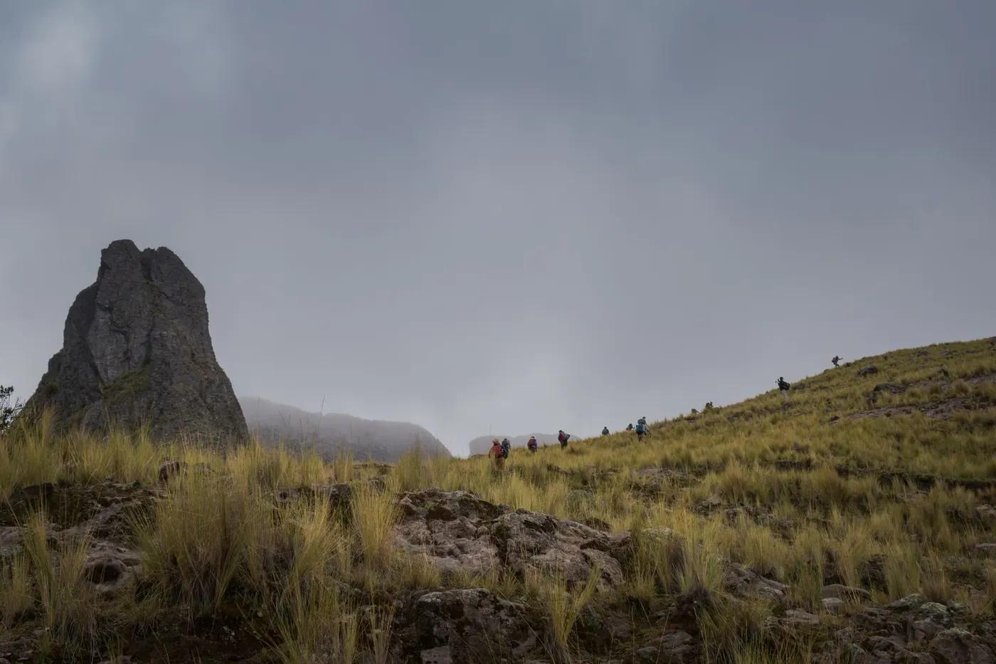
Steep exposed canyon switchbacks, dry scrub then cloud forest, Inca terraces
Non-technical but relentless steep switchbacks, canyon heat and basic camps; the climb out is the crux
Trail clear; guided common; horses/mules carry gear
Fit hikers only, not beginners; strong knees for the descents; not wheelchair
Andean condor, viscacha, hummingbirds (probability)
Dry canyon scrub, cloud-forest orchids near the ruins
Very quiet - one of the least-crowded major Inca sites
4-day fast vs 5-day pacing; extend to Machu Picchu (8-9 days, 100+ km); Capuliyoc viewpoint is a short taster
Getting there & staying
Cusco to Cachora (2,900 m) / Capuliyoc trailhead (~4 h drive); out-and-back
Private transfer Cusco to Cachora; return the same way
Basic family-run campsites - Chiquisca, Playa Rosalina, Santa Rosa, Marampata (water, toilets, small meals); no huts
Sun protection, plenty of water, poles, camping kit (or operator); little coverage; cash
Family campsites with basic food/water/toilets; Cachora village at the trailhead
Not mandatory but an operator/muleteer is strongly advised; horses carry gear
Permits & safety
Site ticket bought at the entrance (recently ~S/60; student rate); no advance permit; small camping fees at Capuliyoc/Chiquisca/Marampata. Confirm current fees.
Permits and operators change - confirm before booking.
Canyon heat and dehydration, knee-testing descents, sun exposure; the climb out is the hardest part
Horses/mules for evacuation; remote and self-sufficient; road access only at Cachora
This profile is desk research, compiled from public sources - not a first-hand trail report. Coordinates are approximate.