

Salkantay Trek
Humantay Lake, Apu Salkantay (6,271 m), the Salkantay Pass, cloud forest, Llactapata and Machu Picchu
The route
The line through Cusco region, Peru - waypoints, elevation and the day-by-day shape of the walk.
Waypoints
- 1Mollepata / Challakancha trailheadTrailhead
Transfer from Cusco
- 2Soraypampa & Humantay LakeJunction
Sky-dome camps; Humantay Lake side trip
recommended · year-round - 3Salkantay Pass (Abra Salkantay)Summit
Highest point; below Apu Salkantay 6,271 m
- 4Collpapampa / Chaullay (camp)Junction
Into the cloud forest
recommended · year-round - 5Lucmabamba / La Playa (camp)Junction
Coffee country; Llactapata option
recommended · year-round - 6Aguas CalientesJunction
Base for Machu Picchu
recommended - 7Machu PicchuSummit
Finish; timed entry ticket
Season & conditions
Dry Apr-Oct (May-Sep best); runs year-round including February (the Inca-Trail-closed alternative); wet and muddier Dec-Mar
Cold/snow at the pass, heat and humidity in the cloud forest; rapid change
Turquoise Humantay Lake; clear dry-season glacier views; orchids and coffee country lower down
Year-round; wet-season (Dec-Mar) mud and landslide risk. Confirm operator camp status.
On the trail
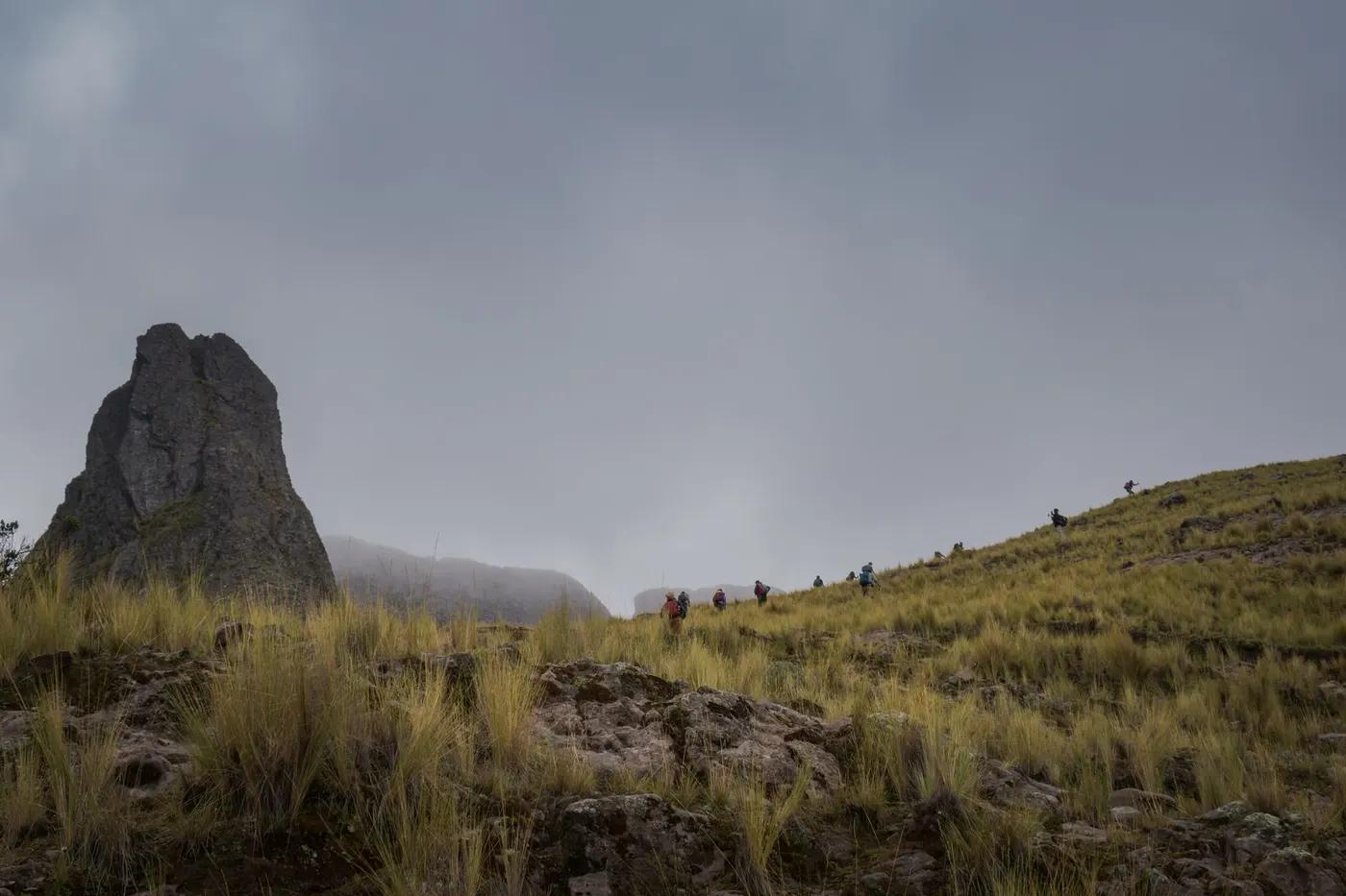
High puna, glacial moraine, cloud forest, farm and coffee-country tracks
Non-technical; long days, a high glacial pass and big descents; no scrambling
Mostly operator-run (camps/domes); trail clear; can be done independently on the trekking section
Fit trekkers comfortable with 20 km days at altitude; acclimatize in Cusco; not wheelchair or for non-hikers; older/family with fitness
Andean condor, viscacha, spectacled bear (rare), hummingbirds (probability)
Puna grass, orchids, coffee and avocado lower down
Popular Inca-Trail alternative but less regulated; busy in peak, quieter than the Inca Trail on the high section
Humantay Lake side trip (Day 1); Salkantay + Inca Trail combo (7-day); train exit from Hidroelectrica; Rainbow Mountain add-on
Getting there & staying
Cusco to Mollepata / Challakancha / Soraypampa trailhead; ends at Aguas Calientes then train
Operator transfer Cusco to trailhead; train back from Aguas Calientes / Hidroelectrica
Operator camps/glass domes at Soraypampa, Collpapampa and Lucmabamba; book ahead in peak; basic
Layers for the pass and heat, boots, poles; water treated/provided; patchy coverage; cash
Operator camps with meals/toilets; villages (Soraypampa, La Playa) have basic shops; Aguas Calientes full services
Not legally required but operator-run is standard (camps, meals, horses); DIY possible on the trek itself
Permits & safety
No trekking permit; pay the Machu Picchu timed ticket + train; operator camps ('sky domes'/lodges) book ahead in peak. Confirm before booking.
Permits and operators change - confirm before booking.
Altitude at the pass (acclimatize in Cusco first), wet-season landslides, sun and heat lower down
Horses for evacuation on the trek; road access at several points; insurance strongly recommended
This profile is desk research, compiled from public sources - not a first-hand trail report. Coordinates are approximate.