

Kilimanjaro: Machame Route
Also known as: Whiskey Route
Barranco Wall, Lava Tower, Kibo crater, the summit glaciers and the sunrise from Stella Point to Uhuru
The route
The line through Kilimanjaro NP, Tanzania - waypoints, elevation and the day-by-day shape of the walk.
Waypoints
- 1Machame GateTrailhead
Register; rainforest start
- 2Machame CampCamp
Night 1; forest edge
- 3Shira CampCamp
Night 2; moorland plateau
- 4Lava Tower / Barranco CampCamp
Night 3; climb-high to Lava Tower ~4600 m then sleep low; Barranco Wall next morning
- 5Karanga CampCamp
Optional night (7-day); after the Barranco Wall
- 6Barafu CampCamp
High camp; summit launch ~midnight
- 7Uhuru PeakSummit
Summit via Stella Point at sunrise
- 8Mweka GateTrailhead
Descent exit over 1.5 days
Season & conditions
Two dry windows: Jan-early Mar and Jun-Oct
Five climate zones bottom to top; summit night is sub-zero with wind chill well below -10 C; afternoon rain/snow, strong UV
Full-moon summit nights; clear dry-season star skies; glacier remnants at the crater rim
Climbable year-round but best in the dry seasons; avoid the Apr-May long rains and Nov short rains. Confirm.
On the trail
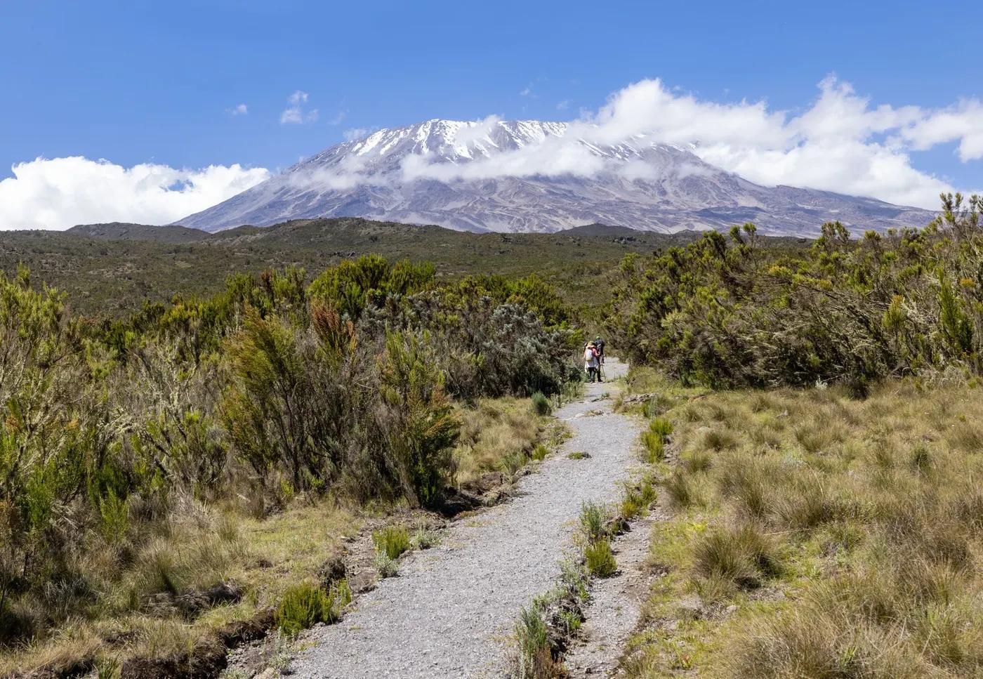
Rainforest trail, moorland, alpine desert scree; the Barranco Wall scramble; loose scree summit night
Non-technical walking/scrambling; the Barranco Wall is a fun hands-on scramble, not exposed climbing
Guided only - no independent navigation; well-worn route
Fit trekkers with time to acclimatize; no technical skill needed but altitude is the great filter; not for the unfit or those unwilling to go slow
Blue monkey, colobus and bushbuck in the rainforest zone; ravens and buzzards higher; little wildlife above the moorland
Montane rainforest, giant heather and lobelia/senecio moorland, then alpine desert and bare summit scree
The most popular camping route - busy, especially where it joins the Lemosho traffic; camps can be full
6-day vs 7-day (extra Karanga acclimatization night); descent via Mweka; turnaround set by health/altitude
Getting there & staying
Machame Gate ~45 min-1 h drive from Moshi; Kilimanjaro Intl Airport (JRO) is the gateway
Operator transfers Moshi/Arusha to gate and from Mweka Gate
Camping only - tents carried and pitched by the crew at Machame, Shira, Barranco, Karanga and Barafu camps
Full expedition layering, insulated summit kit, headtorch, sun protection, 3-4 L water/day; porters carry main loads; no reliable connectivity
Long-drop toilets at camps; some operators bring portable toilets; no shops on the mountain
Mandatory - independent climbing is not permitted; licensed guide, cook and porter crew required
Permits & safety
Licensed operator mandatory; park fees are the big cost - conservation ~US$70 pp/day, camping ~US$50 pp/night (Marangu hut ~US$60/night), plus rescue fee and 18% VAT; total park fees roughly US$800-1,200 for a climb. Confirm current TANAPA rates.
Permits and operators change - confirm before booking.
Altitude illness (AMS/HACE/HAPE) is the real danger; cold, sun, and the effort of summit night; go pole pole (slowly)
Descend-and-evacuate is the response to altitude illness; wheeled stretcher and helicopter evac available; guides carry oximeters, some carry oxygen
This profile is desk research, compiled from public sources - not a first-hand trail report. Coordinates are approximate.