

Ben Nevis Mountain Track
Also known as: Pony Track
The UK’s highest summit; the great cliffs of the north face and, on a clear day, vast Highland views
The route
The line through Lochaber, Scotland, United Kingdom - waypoints, elevation and the day-by-day shape of the walk.
Season & conditions
May-Sep (snow-free); a winter mountaineering peak otherwise
Notoriously bad and fast-changing - cloud, wind, rain; the summit is in cloud most days
Snow-free ~May-Sep; snow/ice into spring makes it serious. Confirm.
On the trail
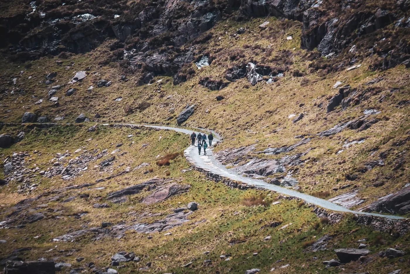
Stony zig-zag path, then a boulder-strewn summit plateau
Non-technical walking/hiking; confirm any exposed or scrambly sections locally
Navigation-CRITICAL on the featureless summit plateau in cloud - map/compass/GPS and the bearing off the top are essential to avoid the cliffs
Suitable for reasonably fit hikers; not wheelchair accessible - confirm specifics
Red deer, ptarmigan, golden eagle
Very busy in summer; a Three Peaks staple
Turn around at the Halfway Lochan; the CMD Arête for experienced scramblers
Getting there & staying
Glen Nevis visitor centre near Fort William
Out-and-back/loop - no shuttle needed
Day route - none needed
Day-hike kit, water, sun/rain protection, sturdy footwear; coverage varies
Services in Fort William; limited or none on the trail
Not required; self-guided
Permits & safety
No permit; free; parking at Glen Nevis
Permits and operators change - confirm before booking.
Getting lost on the summit plateau (fatal near-cliff navigation errors), weather, cold, snow into spring
Retrace the route to exit; dial local emergency services; carry a means of calling for help where remote
This profile is desk research, compiled from public sources - not a first-hand trail report. Coordinates are approximate.