

Snowdon via Pyg & Miners
Also known as: Yr Wyddfa
Wales’ highest peak - Glaslyn and Llyn Llydaw lakes, Crib Goch skyline, and a summit café/railway
The route
The line through Eryri (Snowdonia), Wales, United Kingdom - waypoints, elevation and the day-by-day shape of the walk.
Season & conditions
Late spring-autumn (snow-free)
Fast-changing, cloud, wind, rain
Snow-free ~May-Oct; winter needs axe/crampons. Confirm.
On the trail
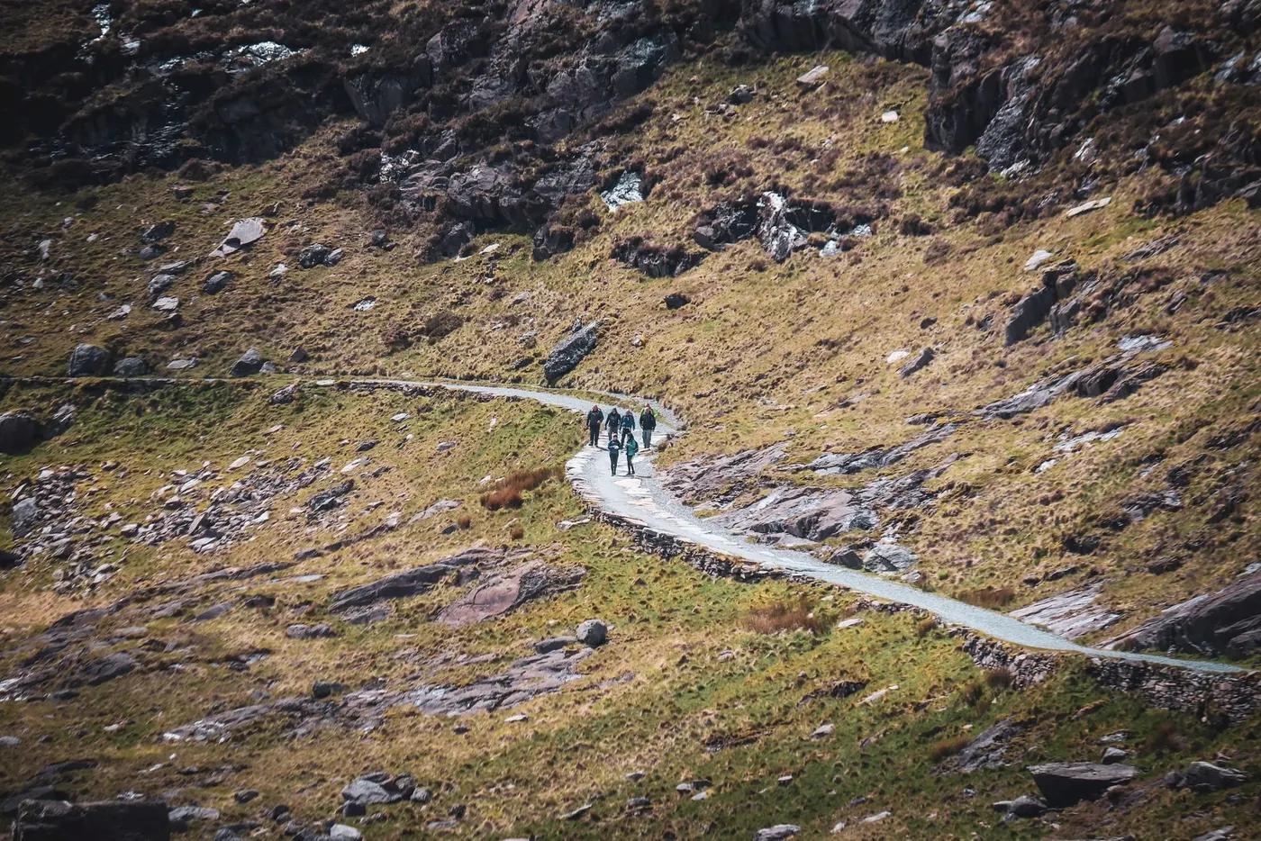
Rocky mountain paths past cwm lakes to a busy summit
Non-technical walking/hiking; confirm any exposed or scrambly sections locally
Marked/waymarked route; navigation generally straightforward - carry a map and confirm locally
Suitable for reasonably fit hikers; not wheelchair accessible - confirm specifics
One of the UK’s busiest mountains
Llanberis Path (easiest); the summit railway; the notorious Crib Goch scramble for experts
Getting there & staying
Pen-y-Pass (pre-booked) on the A4086
Sherpa’r Wyddfa bus / park-and-ride; Pen-y-Pass parking must be pre-booked
Day route - none needed
Day-hike kit, water, sun/rain protection, sturdy footwear; coverage varies
Services in Llanberis; limited or none on the trail
Not required; self-guided
Permits & safety
No permit, but Pen-y-Pass car park is PRE-BOOK ONLY - reserve a slot or use the park-and-ride/Sherpa bus. Confirm.
Permits and operators change - confirm before booking.
Weather, navigation in cloud, crowding at pinch points; Crib Goch (a separate serious scramble) claims lives
Retrace the route to exit; dial local emergency services; carry a means of calling for help where remote
This profile is desk research, compiled from public sources - not a first-hand trail report. Coordinates are approximate.