

Wonderland Trail
Also known as: Mt Rainier circuit
A full circuit of Mount Rainier - meadows, glaciers, waterfalls and the peak from every side
The route
The line through Mt Rainier NP, Washington, United States - waypoints, elevation and the day-by-day shape of the walk.
Waypoints
- 1LongmireTrailhead
Common start/finish
- 1LongmireTrailhead
Common start/finish
- 2Devils Dream / Pyramid CreekCamp
SW segment
- 2Devils Dream / Pyramid CreekCamp
SW segment
- 3Klapatche ParkCamp
West side meadows
- 3Klapatche ParkCamp
West side meadows
- 4Mystic LakeCamp
North side
- 4Mystic LakeCamp
North side
- 5Summerland / Panhandle GapPass
High point; snowfields
- 5Summerland / Panhandle GapPass
High point; snowfields
- 6Longmire (finish)Trailhead
Loop close
- 6Longmire (finish)Trailhead
Loop close
Season & conditions
Late Jul-Sep
Rainier makes its own weather - rain, fog and snow any month up high
Best late Jul-Sep once high sections melt out; rivers high in early season. Confirm.
On the trail
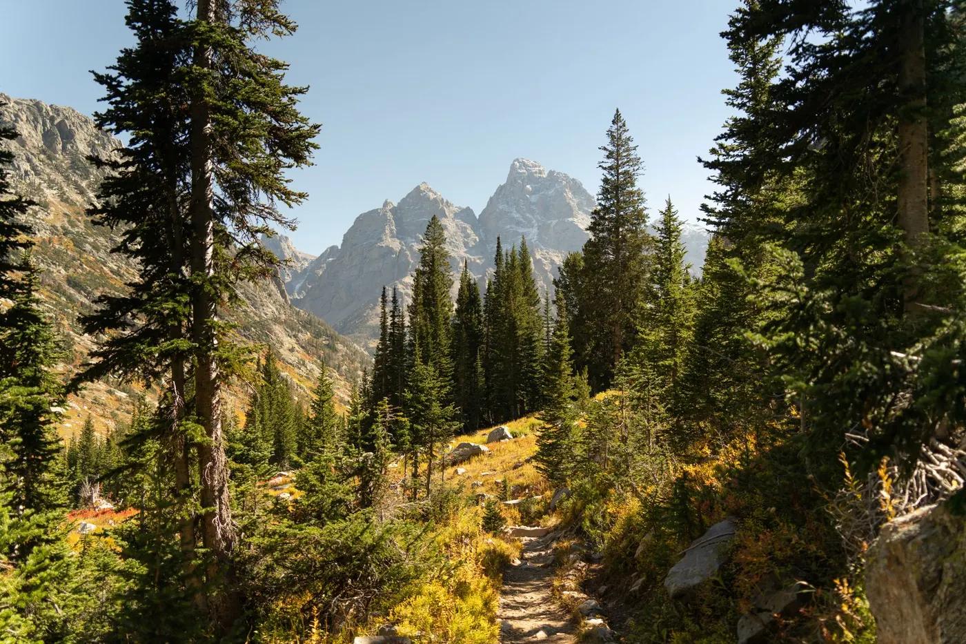
Old-growth forest, wildflower meadows, ridge traverses, glacial river valleys
Non-technical maintained wilderness trail; seasonal snowfields and river fords
Well-signed NPS trail; snowfields early season
Suitable for reasonably fit hikers; not wheelchair accessible - confirm specifics
A popular, well-known route - busier in peak season
Section-hike segments; do it clockwise or anticlockwise; Spray Park alternate
Getting there & staying
Multiple access points (Longmire, Sunrise, Mowich); most start/finish at Longmire or Sunrise
Out-and-back/loop - no shuttle needed
Backcountry campgrounds only (permit-assigned); no huts; bear-resistant food storage
Layered outdoor kit, sturdy footwear, sun/rain protection, ample water; patchy mobile coverage - carry a map/PLB where remote
Services in Ashford; limited or none on the trail
Not required; self-guided
Permits & safety
A wilderness camping permit is required; itineraries are set via an early-access lottery + reservation, very competitive; food caches allowed. Confirm.
Permits and operators change - confirm before booking.
Weather, river fords, long remote stretches, black bears; snow lingering on passes
Retrace the route to exit; dial local emergency services; carry a means of calling for help where remote
This profile is desk research, compiled from public sources - not a first-hand trail report. Coordinates are approximate.