

Overland Track
Tasmania’s classic - Cradle Mountain, alpine tarns, Mt Ossa (state high point) and Lake St Clair
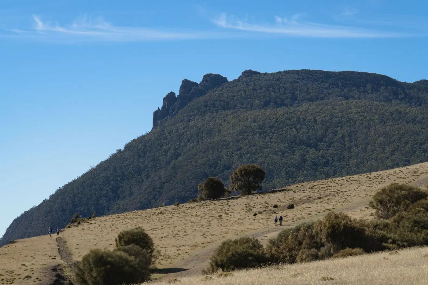
The route
The line through Cradle Mountain-Lake St Clair, Tasmania, Australia - waypoints, elevation and the day-by-day shape of the walk.
Waypoints
- 1Ronny Creek (Cradle)Trailhead
North start; booked N-S
- 2Waterfall Valley HutHut
Night 1; Cradle summit side trip
- 3Pelion HutHut
Mt Ossa side trip base
- 4Kia Ora HutHut
Waterfalls nearby
- 5Narcissus Hut / Lake St ClairHut
Ferry or walk out
Season & conditions
Oct-May (booked season)
Cold, wet, wind and snow possible year-round; notorious mud
Booked one-direction (N-S) Oct-May; snow and mud possible any month. Confirm.
On the trail
Alpine moorland, buttongrass, rainforest, boardwalk and duckboard
Non-technical walking/hiking; confirm any exposed or scrambly sections locally
Marked/waymarked route; navigation generally straightforward - carry a map and confirm locally
Suitable for reasonably fit hikers; not wheelchair accessible - confirm specifics
A popular, well-known route - busier in peak season
Side trips to Mt Ossa and waterfalls; ferry or walk the final Lake St Clair leg
Getting there & staying
Ronny Creek (Cradle Mountain) to Lake St Clair
Dove Lake/Cradle shuttle in; Lake St Clair ferry or walk out
Unstaffed public huts at each stage (first-come) plus tent platforms; carry a tent
Layered outdoor kit, sturdy footwear, sun/rain protection, ample water; patchy mobile coverage - carry a map/PLB where remote
Services in Cradle Mountain / Launceston; limited or none on the trail
Not required; self-guided
Permits & safety
A Parks pass plus the Overland Track booking/fee are required in the Oct-May season (one-direction, daily quota). Confirm.
Permits and operators change - confirm before booking.
Cold/wet exposure, mud, river levels, remoteness
Retrace the route to exit; dial local emergency services; carry a means of calling for help where remote
This profile is desk research, compiled from public sources - not a first-hand trail report. Coordinates are approximate.