

Six Foot Track
The historic Six Foot Track from Katoomba to the Jenolan Caves - river crossings and eucalypt country
The route
The line through Blue Mountains, NSW, Australia - waypoints, elevation and the day-by-day shape of the walk.
Waypoints
- 1Katoomba (start)Trailhead
Start [interpolated - upgrade in research]
Approximate node - GPS and name to be upgraded in deeper research.
- 2Stage camp/villageCamp
Staging point (approx) [interpolated - upgrade in research]
Approximate node - GPS and name to be upgraded in deeper research.
- 3Stage camp/villageCamp
Staging point (approx) [interpolated - upgrade in research]
Approximate node - GPS and name to be upgraded in deeper research.
- 4EndTrailhead
End of route [interpolated - upgrade in research]
Approximate node - GPS and name to be upgraded in deeper research.
Season & conditions
Autumn-spring (avoid summer heat)
Hot summers; river levels after rain
Best Mar-Nov; the Cox’s River can flood after rain. Confirm.
On the trail
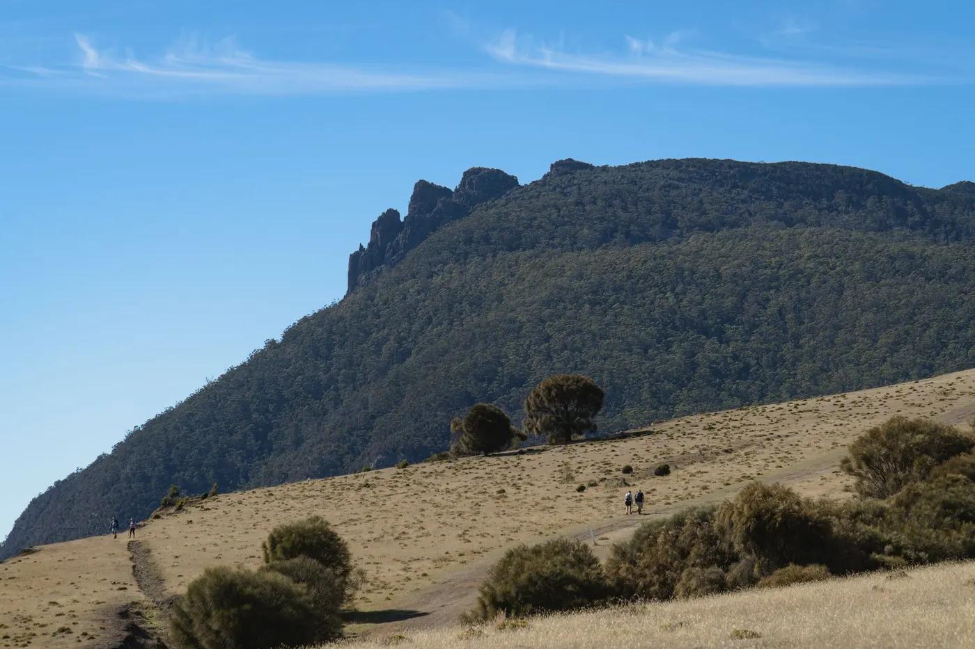
Historic bridle track - ridge, the Cox’s River, and farmland to Jenolan Caves
Non-technical walking/hiking; confirm any exposed or scrambly sections locally
Marked/waymarked route; navigation generally straightforward - carry a map and confirm locally
Suitable for reasonably fit hikers; not wheelchair accessible - confirm specifics
Moderate; race-day busy
Run it in a day; overnight in three stages
Getting there & staying
Katoomba (Explorers Tree) to Jenolan Caves
Point-to-point; arrange transport back from Jenolan
Simple campsites (Coxs River, Alum Creek); carry a tent
Layered outdoor kit, sturdy footwear, sun/rain protection, ample water; patchy mobile coverage - carry a map/PLB where remote
Services in Katoomba; limited or none on the trail
Not required; self-guided
Permits & safety
No permit; designated campsites; the annual marathon uses this route
Permits and operators change - confirm before booking.
River crossings in flood, heat, ticks
Retrace the route to exit; dial local emergency services; carry a means of calling for help where remote
This profile is desk research, compiled from public sources - not a first-hand trail report. Coordinates are approximate.