

Three Capes Track
The Tasman Peninsula sea cliffs - Cape Pillar, Cape Hauy and the tallest sea cliffs in the Southern Hemisphere
The route
The line through Tasman Peninsula, Tasmania, Australia - waypoints, elevation and the day-by-day shape of the walk.
Waypoints
- 1Denmans Cove (boat start)Trailhead
Boat from Port Arthur
- 2Surveyors HutHut
Night 1
- 3Munro HutHut
Night 2; Cape Pillar side trip
- 4Retakunna HutHut
Night 3; Mt Fortescue
- 5Fortescue Bay (finish)Trailhead
End; Cape Hauy nearby
Season & conditions
Year-round (booked)
Coastal wind, rain, cool; exposed cliff tops
Open year-round with a fixed booked itinerary; wind/rain any time. Confirm.
On the trail
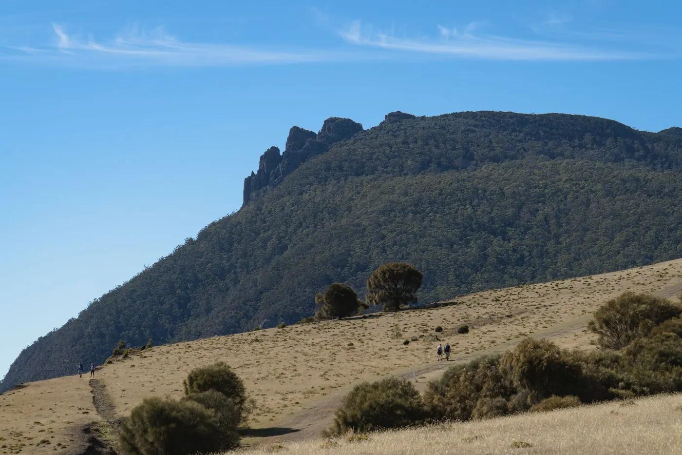
Coastal heath and forest on a superbly built track with sculpture-seats
Non-technical walking/hiking; confirm any exposed or scrambly sections locally
Marked/waymarked route; navigation generally straightforward - carry a map and confirm locally
Suitable for reasonably fit hikers; not wheelchair accessible - confirm specifics
A popular, well-known route - busier in peak season
Day-walk Cape Hauy separately (see HK-AU-0052)
Getting there & staying
Boat from Port Arthur to Denmans Cove (start); finish at Fortescue Bay
Boat start; shuttle from Fortescue Bay
Three architect-designed public huts (bunks, kitchens) included with the booking
Layered outdoor kit, sturdy footwear, sun/rain protection, ample water; patchy mobile coverage - carry a map/PLB where remote
Services in Port Arthur; limited or none on the trail
Not required; self-guided
Permits & safety
A booked ticket including the boat start and the architect-designed huts is required (fixed 4-day itinerary). Confirm.
Permits and operators change - confirm before booking.
Cliff-edge exposure, wind, cool wet weather
Retrace the route to exit; dial local emergency services; carry a means of calling for help where remote
This profile is desk research, compiled from public sources - not a first-hand trail report. Coordinates are approximate.