

GR20
Also known as: Fra li monti
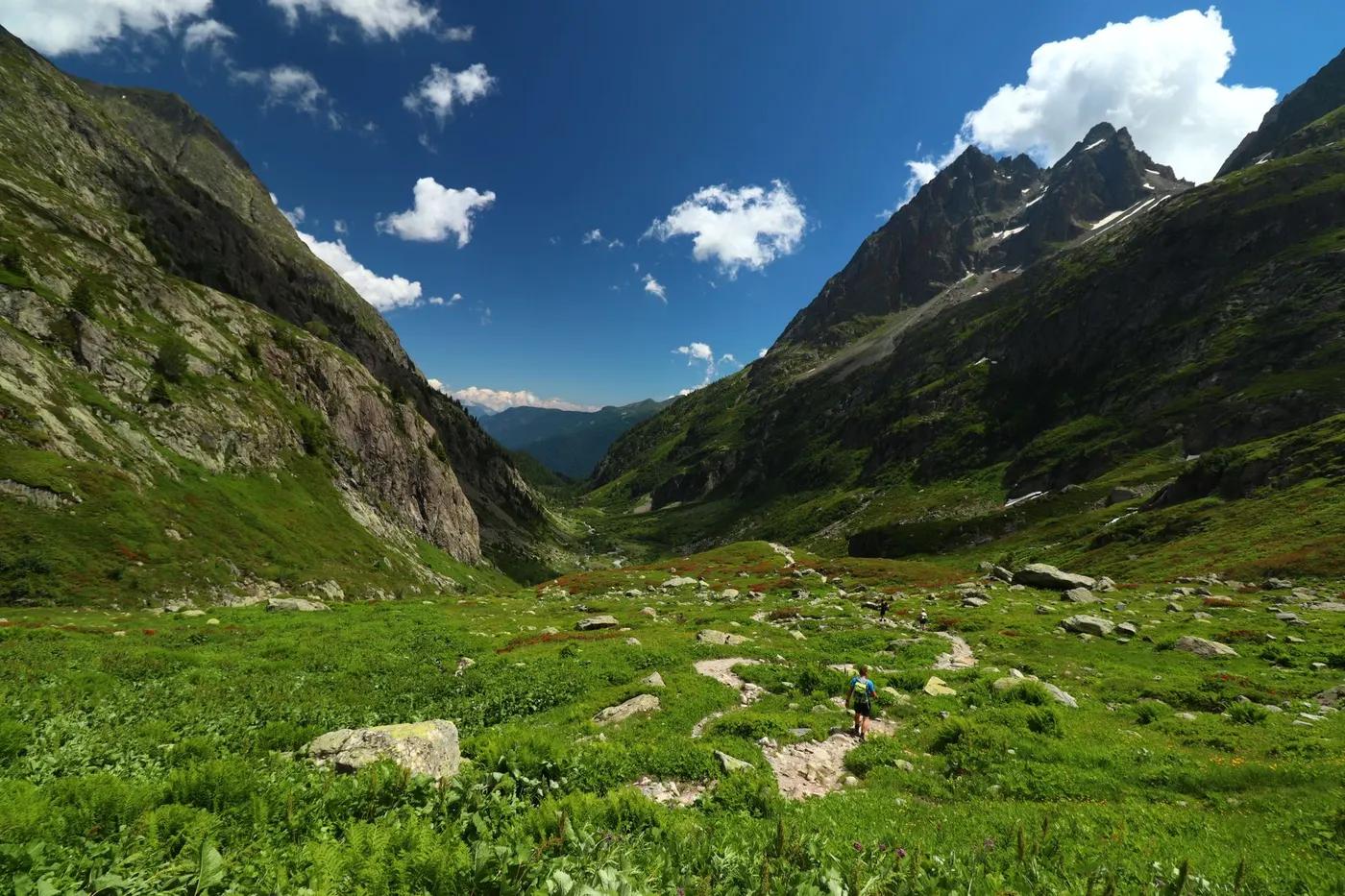
The GR20 - reputedly Europe’s toughest long-distance trail, along Corsica’s rugged granite backbone
The route
The line through Corsica, France - waypoints, elevation and the day-by-day shape of the walk.
Waypoints
- 1CalenzanaTrailhead
North start
- 2Refuge de CarrozzuHut
North granite
- 3Haut Asco / TighjettuHut
Cirque replacement route
- 4VizzavonaJunction
Midpoint (north/south split)
- 5Refuge d’UscioluHut
Southern ridge
- 6ConcaTrailhead
South finish
Season & conditions
Jun-Sep
Exposed alpine weather - afternoon thunderstorms, cold, wind, snow lingering; start early and check the forecast; violent Corsican thunderstorms and heat
Best Jun-Sep; snow lingers on the northern high sections early; refuges staffed in season. Confirm.
On the trail
A granite mountain spine of scrambly ridges, scree, snow patches and forest
Sustained rocky terrain with cabled/scrambly passages, especially the Cirque de la Solitude replacement and northern granite
Marked/waymarked route; navigation generally straightforward - carry a map and confirm locally
Suitable for reasonably fit hikers; not wheelchair accessible - confirm specifics
A popular, well-known route - busier in peak season
Do the harder rocky north or the gentler south; the full traverse
Getting there & staying
Calenzana (north) to Conca (south)
Point-to-point may need transport between ends - confirm
Mountain refuges (basic, book the popular ones) with camping and small shops
Layered outdoor kit, sturdy footwear, sun/rain protection, ample water; patchy mobile coverage - carry a map/PLB where remote
Services in Calenzana / Corte; limited or none on the trail
Not required; self-guided
Permits & safety
No permit; a chain of refuges (book/first-come) plus camping; carry supplies. Confirm.
Permits and operators change - confirm before booking.
Rocky scrambling and exposure, storms, heat, the sheer sustained effort
Retrace the route to exit; dial local emergency services; carry a means of calling for help where remote
This profile is desk research, compiled from public sources - not a first-hand trail report. Coordinates are approximate.