

Mount Bromo & Penanjakan
Also known as: Bromo sunrise
Mount Bromo - the smoking cinder cone in a vast sea of sand, with the classic Penanjakan sunrise over the Tengger caldera
The route
The line through East Java (Tengger), Indonesia - waypoints, elevation and the day-by-day shape of the walk.
Season & conditions
Apr-Oct (dry season)
Cold pre-dawn, dusty, warm by day
Best in the dry season; a pre-dawn start for the sunrise; jeep culture optional. Confirm.
On the trail
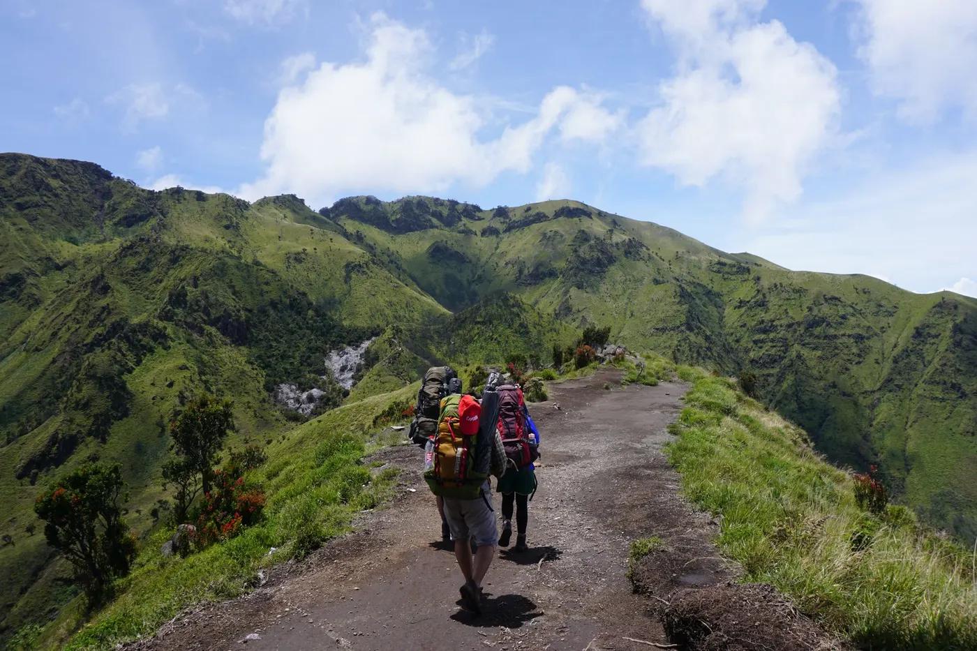
A "sea of sand" caldera floor and steps to a smoking crater, plus sunrise viewpoints
Non-technical walking/hiking; confirm any exposed or scrambly sections locally
Marked/waymarked route; navigation generally straightforward - carry a map and confirm locally
Accessible to most walkers and families; not fully wheelchair accessible - confirm
Very popular
Walk the sand sea and crater steps; the sunrise viewpoints by jeep
Getting there & staying
Cemoro Lawang
Jeeps to Penanjakan and across the sand sea (optional; you can walk)
Day route - none needed
Day-hike kit, water, sun/rain protection, sturdy footwear; coverage varies
Services in Cemoro Lawang; limited or none on the trail
Not required; self-guided
Permits & safety
Bromo Tengger Semeru NP entry; jeeps are the usual way to the viewpoints. Confirm.
Permits and operators change - confirm before booking.
Volcanic gas near the crater, cold, dust
Retrace the route to exit; dial local emergency services; carry a means of calling for help where remote
This profile is desk research, compiled from public sources - not a first-hand trail report. Coordinates are approximate.