

Annapurna Circuit
Also known as: AC
Annapurnas, Manaslu, the Thorong La, Muktinath, the deep Kali Gandaki gorge and Dhaulagiri
The route
The line through Annapurna Conservation Area, Nepal - waypoints, elevation and the day-by-day shape of the walk.
Waypoints
- 1Besisahar / Chame (roadhead start)Trailhead
Jeep in from Pokhara/Kathmandu; walking often begins at Chame
- 2ChameJunction
ACAP checkpoint; roadhead
- 3ManangJunction
Key acclimatization stop; Ice Lake/Tilicho side trips
- 4Thorong Phedi / High CampJunction
Base for the pass; early start
- 5Thorong LaPass
The crux; long cold pass day
- 6MuktinathJunction
Pilgrimage temple; descent into Mustang
- 7Jomsom (exit)Trailhead
Flight to Pokhara or jeep out
Season & conditions
Oct-Nov and Mar-Apr
Clear cold mornings clouding by afternoon; heavy monsoon rain and leeches Jun-Aug; winter snow blocks the high passes; the Thorong La has had deadly October storms - watch forecasts
Autumn clarity; spring rhododendron; Muktinath pilgrimage temple; apple harvest around Marpha
Thorong La usually open Oct-Nov and Mar-May; can close with snow in winter and shoulder storms. Confirm.
On the trail
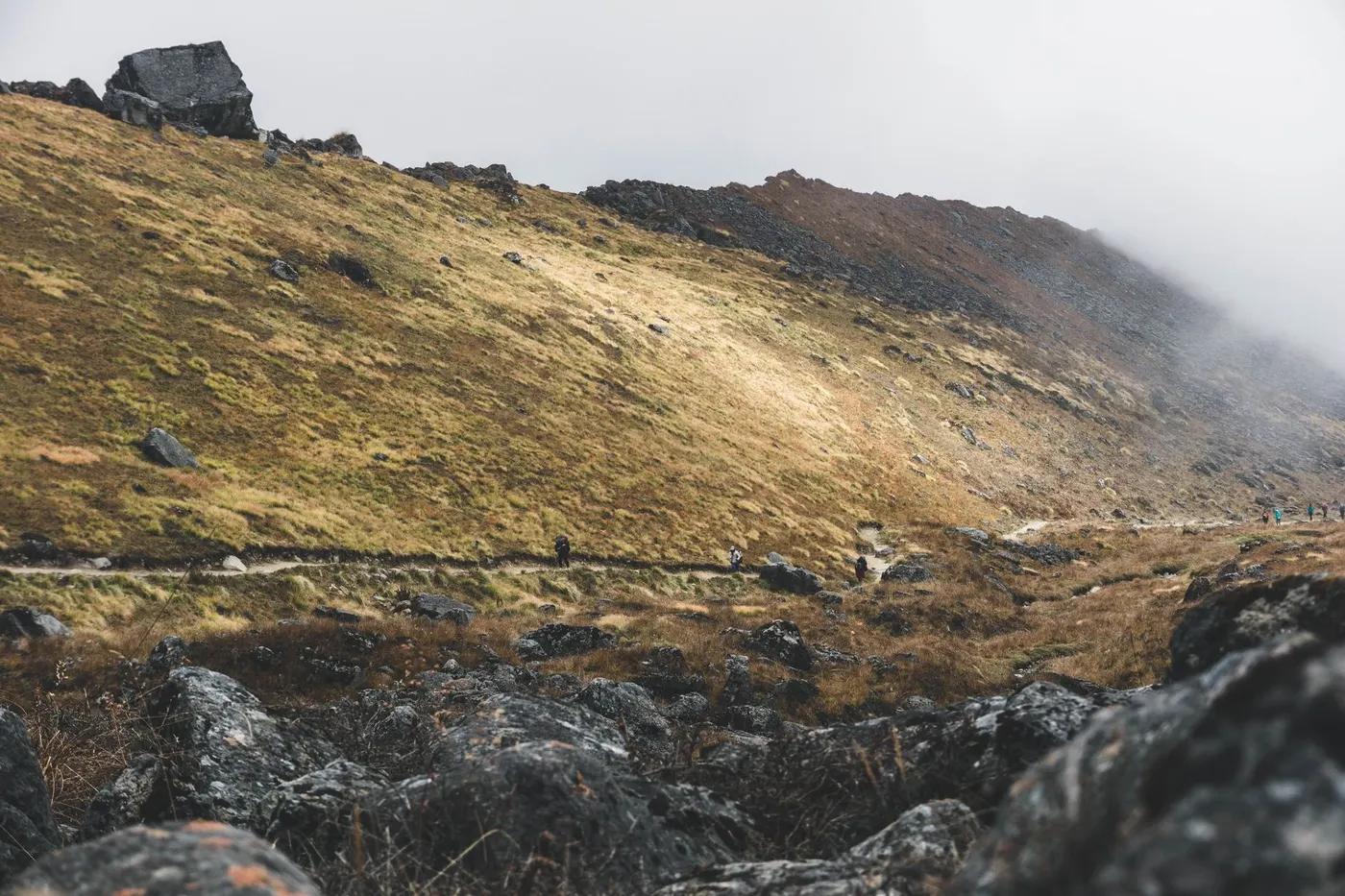
River valleys, forest, terraced farmland, high arid Manang, the pass scree, then the Kali Gandaki gorge
Non-technical walking; the Thorong La is a long, cold, high pass day - snow/ice possible
Well-trodden and signed with the guide requirement; the pass needs care in snow
Fit trekkers with 2+ weeks and acclimatization time; not for the altitude-naive
Langur monkey, Himalayan tahr, danphe (Impeyan pheasant), musk deer; snow leopard/blue sheep in the high remote zones (rarely seen)
Rhododendron and oak/pine forest lower, then juniper scrub and alpine meadow, then rock and snow
A classic - busy in peak, though roads have thinned some sections; quieter above Manang
Side trips Ice Lake (Kicho Tal) and Tilicho Lake for acclimatization; road exits at Manang or Muktinath; add the Annapurna Base Camp extension
Getting there & staying
Drive Pokhara/Kathmandu to Besisahar, then jeep up the valley (Chame/Manang) to start walking
Jeeps on the now-roaded lower valley; flights Jomsom-Pokhara or jeep out via Tatopani
Teahouse lodges (private rooms lower down, dorms higher); book ahead in peak season; hot showers/wifi for a fee lower down, basic higher
Layered trekking kit, down jacket and warm bag for the highs, boots, water purification, cash in NPR (few ATMs on trail); patchy mobile data (Ncell/NTC), some lodges sell wifi
Lodges, shops and bakeries in villages; ATMs in Chame/Jomsom (unreliable); health posts at Manang/Jomsom
Licensed guide required for foreign trekkers (national rule since 2023); porters optional; teahouse trek so no camping crew needed
Permits & safety
ACAP (Annapurna Conservation Area Permit) mandatory, NPR 3,000 (~US$25) for foreigners; a licensed guide is required for foreign trekkers in the Annapurna region (rule since 2023); TIMS largely superseded - confirm current requirement with a registered agency.
Permits and operators change - confirm before booking.
Altitude illness (AMS) is the main danger above ~3,000 m - ascend gradually, hydrate, know the descent rule; Thorong La storm/cold; the road-walking sections; landslides in monsoon
Helicopter evacuation is the norm for serious cases (ensure travel insurance covers heli rescue); health posts at larger villages; descend for altitude illness; road access at Manang and Muktinath eases evacuation
This profile is desk research, compiled from public sources - not a first-hand trail report. Coordinates are approximate.