

Mardi Himal
Point-blank Machhapuchhre and Annapurna South from a quiet high ridge
The route
The line through Annapurna Conservation Area, Nepal - waypoints, elevation and the day-by-day shape of the walk.
Waypoints
- 1Kande / Phedi roadhead (start)Trailhead
Jeep from Pokhara
- 2Forest CampJunction
Rhododendron ridge
- 3Low CampJunction
Lodges on the ridge
- 4High CampJunction
Last lodges below the viewpoint
- 5Mardi Himal ViewpointSummit
Upper base camp / viewpoint; turn-around
Season & conditions
Oct-Nov and Mar-Apr
Clear cold mornings clouding by afternoon; heavy monsoon rain and leeches Jun-Aug; winter snow blocks the high passes; cloud can whiteout the exposed ridge
Spring rhododendron; close-up Machhapuchhre (Fishtail) from the ridge
Best Oct-Apr; the upper ridge holds snow in winter/early spring. Confirm.
On the trail
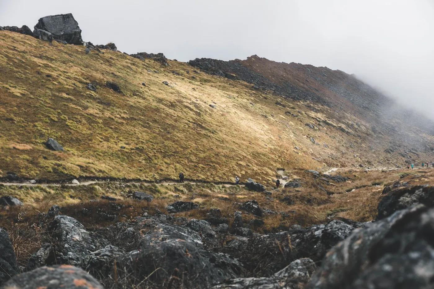
Rhododendron forest ridge, then open alpine ridge to the viewpoint
Non-technical; the upper ridge to the viewpoint is narrow and can be exposed/slippery in snow
Newer but now well-lodged and marked; guide required
Fit trekkers wanting a quieter alternative to ABC; the top push is steep
Langur monkey, Himalayan tahr, danphe (Impeyan pheasant), musk deer; snow leopard/blue sheep in the high remote zones (rarely seen)
Rhododendron and oak/pine forest lower, then juniper scrub and alpine meadow, then rock and snow
Much quieter than ABC/Poon Hill - its main appeal
Turn around at High Camp or Lower Viewpoint; link with ABC/Poon Hill via Landruk
Getting there & staying
Drive Pokhara to Kande/Phedi (~1 h), then walk up via Forest Camp
Jeep/taxi from Pokhara and back (often exit via Sidhing)
Teahouse lodges (private rooms lower down, dorms higher); book ahead in peak season; hot showers/wifi for a fee lower down, basic higher; fewer, smaller lodges - book ahead in peak
Layered trekking kit, down jacket and warm bag for the highs, boots, water purification, cash in NPR (few ATMs on trail); patchy mobile data (Ncell/NTC), some lodges sell wifi
Basic lodges along the ridge; carry cash; limited connectivity up high
Licensed guide required for foreign trekkers (national rule since 2023); porters optional; teahouse trek so no camping crew needed
Permits & safety
ACAP (Annapurna Conservation Area Permit) mandatory, NPR 3,000 (~US$25) for foreigners; a licensed guide is required for foreign trekkers in the Annapurna region (rule since 2023); TIMS largely superseded - confirm current requirement with a registered agency.
Permits and operators change - confirm before booking.
Altitude illness (AMS) is the main danger above ~3,000 m - ascend gradually, hydrate, know the descent rule; exposed, slippery upper ridge in poor visibility or snow
Helicopter evacuation is the norm for serious cases (ensure travel insurance covers heli rescue); health posts at larger villages; descend for altitude illness
This profile is desk research, compiled from public sources - not a first-hand trail report. Coordinates are approximate.