

Kokoda Track
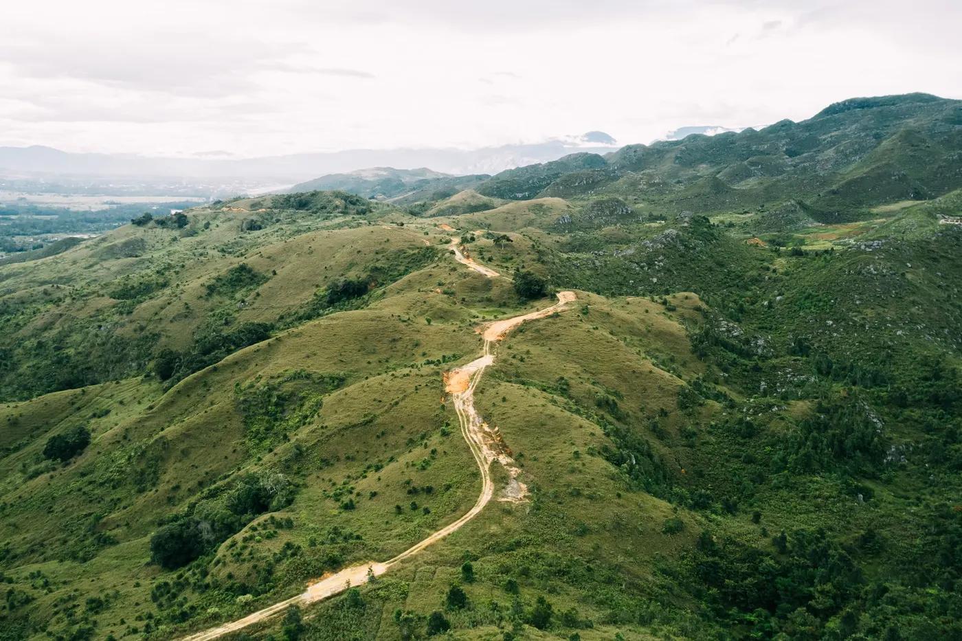
The Kokoda Track - the WWII Owen Stanley campaign route through remote PNG jungle and villages
The route
The line through Owen Stanley Range, Papua New Guinea - waypoints, elevation and the day-by-day shape of the walk.
Waypoints
- 1Owers CornerTrailhead
South start
- 2IoribaiwaJunction
WWII site
- 3Brigade Hill / EfogiJunction
Battle sites
- 4IsuravaJunction
Memorial
- 5KokodaTrailhead
North finish
Season & conditions
Apr-Oct (drier)
Tropical heat, humidity, heavy rain and mud; cold at altitude
Best in the drier months (Apr-Oct); wet, muddy and leech-ridden; a serious undertaking. Confirm.
On the trail
Steep muddy jungle ridges, river crossings and WWII battle sites
Non-technical walking/hiking; confirm any exposed or scrambly sections locally
Marked/waymarked route; navigation generally straightforward - carry a map and confirm locally
Suitable for reasonably fit hikers; not wheelchair accessible - confirm specifics
A popular, well-known route - busier in peak season
North-to-south (Kokoda to Owers Corner) or reverse; historical touring pace
Getting there & staying
Owers Corner (near Port Moresby) to Kokoda village
Point-to-point may need transport between ends - confirm
Village guesthouses and camps; porter-supported
Layered outdoor kit, sturdy footwear, sun/rain protection, ample water; patchy mobile coverage - carry a map/PLB where remote
Services in Port Moresby; limited or none on the trail
Licensed operator + local porters standard
Permits & safety
A Kokoda Track Authority trek permit is required; a licensed operator with local porters is standard. Confirm.
Permits and operators change - confirm before booking.
Heat, mud, river crossings, disease (malaria), remoteness; a physically brutal trek
Retrace the route to exit; dial local emergency services; carry a means of calling for help where remote
This profile is desk research, compiled from public sources - not a first-hand trail report. Coordinates are approximate.