

Huayhuash Circuit
The Huayhuash Circuit - one of the world’s great treks, ringing the spectacular Cordillera Huayhuash (Siula Grande)
The route
The line through Cordillera Huayhuash, Peru - waypoints, elevation and the day-by-day shape of the walk.
Waypoints
- 1LlámacTrailhead
Loop start
- 2Laguna CarhuacochaCamp
Iconic lakes
- 3San Antonio passPass
High pass
- 4Viconga hot springsCamp
Hot springs
- 5Llámac (finish)Trailhead
Loop close
Season & conditions
May-Sep (dry season)
Severe altitude, cold, sun and storms; remote
Best May-Sep; snow on the passes, very cold nights; remote. Confirm.
On the trail
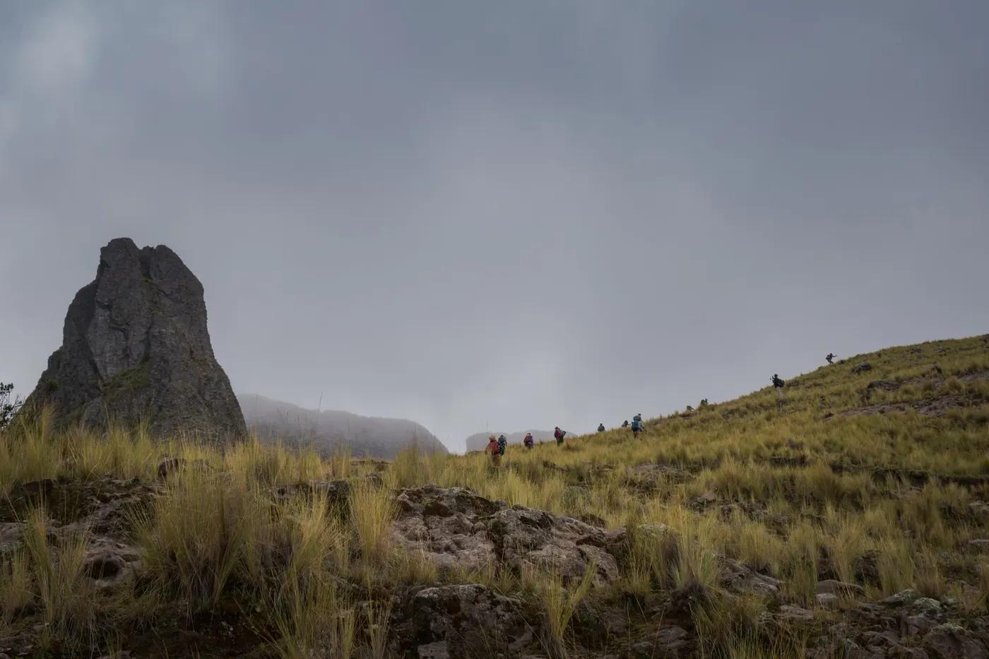
Remote high valleys, multiple ~5,000 m passes, glacial lakes and hot springs
Non-technical walking/hiking; confirm any exposed or scrambly sections locally
Marked/waymarked route; navigation generally straightforward - carry a map and confirm locally
Suitable for reasonably fit hikers; not wheelchair accessible - confirm specifics
A popular, well-known route - busier in peak season
"Mini-Huayhuash" shorter loops; the Siula/Sarapococha viewpoints
Getting there & staying
Llámac or Cuartelhuain, from Huaraz
Out-and-back/loop - no shuttle needed
Camping only; mule-supported; a few hot springs en route
Layered outdoor kit, sturdy footwear, sun/rain protection, ample water; patchy mobile coverage - carry a map/PLB where remote
Services in Huaraz; limited or none on the trail
Guides/arrieros standard given the remoteness and altitude
Permits & safety
Community fees are collected at several points en route; arrieros standard. Confirm.
Permits and operators change - confirm before booking.
Altitude illness is the key risk at these elevations - acclimatize, ascend gradually, know the descent rule (sustained above 4,000 m, passes ~5,000 m), cold, remoteness, weather
Retrace the route to exit; dial local emergency services; carry a means of calling for help where remote
This profile is desk research, compiled from public sources - not a first-hand trail report. Coordinates are approximate.