

West Highland Way
Also known as: WHW
Scotland’s classic long walk - Loch Lomond, Rannoch Moor, Glen Coe and on to Ben Nevis
The route
The line through Scotland, United Kingdom - waypoints, elevation and the day-by-day shape of the walk.
Waypoints
- 1MilngavieTrailhead
Southern start near Glasgow
- 2Balmaha (Loch Lomond)Junction
Lochside
- 3InverarnanJunction
Head of the loch
- 4Bridge of OrchyJunction
Onto Rannoch Moor
- 5KinlochlevenJunction
After the Devil’s Staircase
- 6Fort WilliamTrailhead
Northern finish; foot of Ben Nevis
Season & conditions
Apr-Oct
Rain, wind, midges in summer; exposure on Rannoch Moor
Best Apr-Oct; midges peak Jun-Aug; boggy and cold in shoulder seasons. Confirm.
On the trail
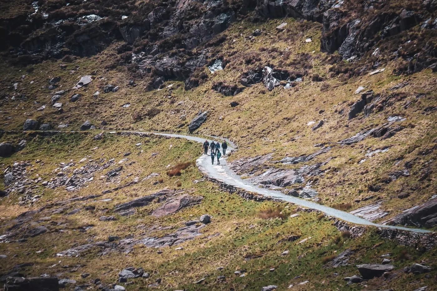
Lochside paths, old military and drove roads, moorland, forest
Non-technical walking/hiking; confirm any exposed or scrambly sections locally
Marked/waymarked route; navigation generally straightforward - carry a map and confirm locally
Suitable for reasonably fit hikers; not wheelchair accessible - confirm specifics
Popular; Scotland’s busiest long-distance route
Walk it in either direction (usually south-north, Milngavie to Fort William); section-hike
Getting there & staying
Milngavie (near Glasgow) to Fort William
Rail/bus at both ends; baggage transfer between stops
B&Bs, hostels, bunkhouses and campsites along the way; baggage-transfer services common
Layered outdoor kit, sturdy footwear, sun/rain protection, ample water; patchy mobile coverage - carry a map/PLB where remote
Services in Milngavie / Fort William; limited or none on the trail
Not required; self-guided
Permits & safety
No permit; wild camping is broadly allowed under Scottish access rights (follow the code); B&Bs/hostels line the route
Permits and operators change - confirm before booking.
Weather exposure on the moor, midges, blisters over consecutive days
Retrace the route to exit; dial local emergency services; carry a means of calling for help where remote
This profile is desk research, compiled from public sources - not a first-hand trail report. Coordinates are approximate.