

Franconia Ridge Loop
Also known as: Lafayette-Lincoln loop
One of the East’s finest ridge walks - a mile-plus above treeline with Pemigewasset Wilderness views
The route
The line through White Mountains, New Hampshire, United States - waypoints, elevation and the day-by-day shape of the walk.
Season & conditions
Jun-Oct
White Mountain weather is notoriously violent - the exposed ridge sees sudden storms, wind and cold any month
Snow-free roughly Jun-Oct; the ridge is a winter mountaineering objective otherwise. Confirm.
On the trail
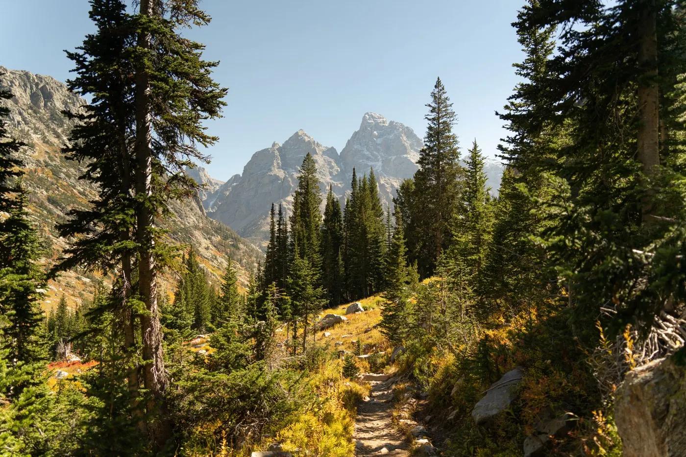
Steep forest trail, then a bare alpine ridge over Little Haystack, Lincoln and Lafayette
Non-technical but rocky; the Franconia Ridge is fully exposed to weather
Well-worn AT/loop trails; the ridge is obvious but exposed
Suitable for reasonably fit hikers; not wheelchair accessible - confirm specifics
Very popular New England classic; busy on fine weekends
Out-and-back to Little Haystack for less commitment; add Greenleaf Hut
Getting there & staying
Lafayette Place, Franconia Notch State Park (I-93)
Out-and-back/loop - no shuttle needed
AMC Greenleaf Hut (reservation) just off the ridge; otherwise a day loop
Day-hike kit, water, sun/rain protection, sturdy footwear; coverage varies
Services in Lincoln; limited or none on the trail
Not required; self-guided
Permits & safety
No permit; parking fills early at the Lafayette Place trailhead
Permits and operators change - confirm before booking.
Exposure to sudden storms above treeline, hypothermia, rocky footing, lightning
Retrace the route to exit; dial local emergency services; carry a means of calling for help where remote
This profile is desk research, compiled from public sources - not a first-hand trail report. Coordinates are approximate.