

Mount Katahdin (Knife Edge)
Also known as: AT northern terminus
The Appalachian Trail’s northern terminus and Maine’s highest point, with the Knife Edge traverse
The route
The line through Baxter State Park, Maine, United States - waypoints, elevation and the day-by-day shape of the walk.
Season & conditions
Jun-mid Oct
Rapid, violent above-treeline weather; the Knife Edge is deadly in wind/lightning/wet
Snow-free roughly Jun-mid Oct; Baxter has strict seasonal rules. Confirm.
On the trail
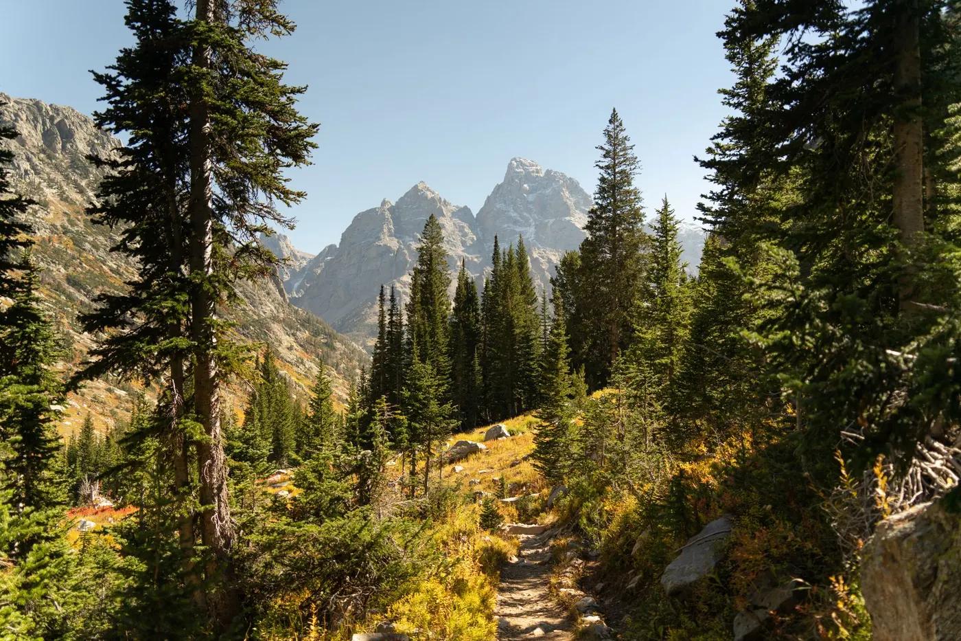
Forest, steep boulder fields (Hunt Trail rungs), then the exposed granite arete
Class-3 scrambling; the Knife Edge is a narrow arete with big drops on both sides
Blazed but rugged; the Knife Edge is committing
Suitable for reasonably fit hikers; not wheelchair accessible - confirm specifics
Limited by Baxter’s day-use cap; feels wild
Ascend the Hunt Trail (AT) and skip the Knife Edge via Saddle/Abol for less exposure
Getting there & staying
Roaring Brook or Katahdin Stream campground, Baxter State Park
Out-and-back/loop - no shuttle needed
Day route - none needed
Day-hike kit, water, sun/rain protection, sturdy footwear; coverage varies
Services in Millinocket; limited or none on the trail
Not required; self-guided
Permits & safety
Baxter State Park day-use parking reservation is required and caps numbers; no dogs; strict rules. Confirm.
Permits and operators change - confirm before booking.
Falls from the Knife Edge, weather, cold, remoteness; a serious accident history
Retrace the route to exit; dial local emergency services; carry a means of calling for help where remote
This profile is desk research, compiled from public sources - not a first-hand trail report. Coordinates are approximate.