

Old Rag Mountain
Shenandoah’s iconic summit scramble with Blue Ridge and Piedmont views
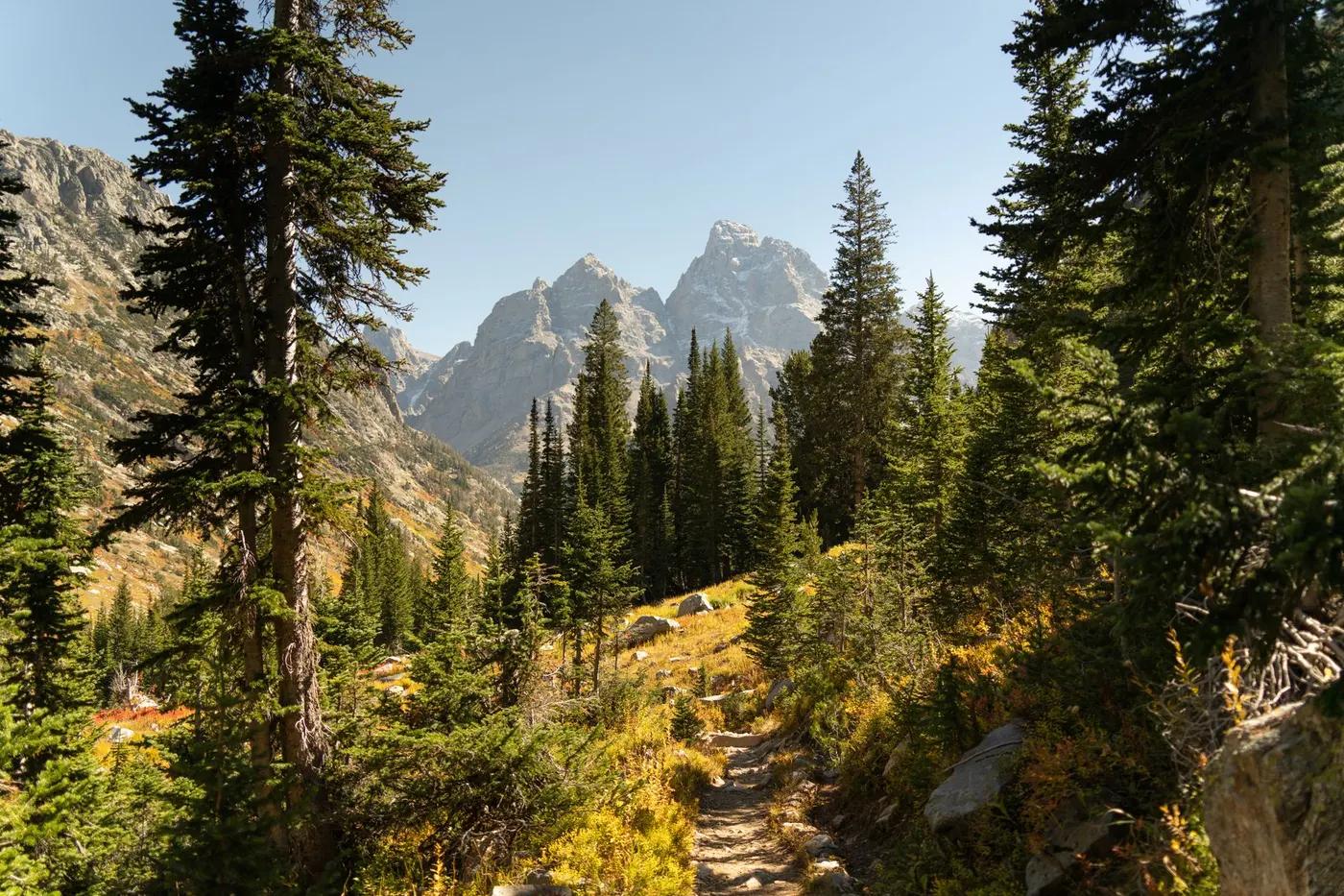
The route
The line through Shenandoah NP, Virginia, United States - waypoints, elevation and the day-by-day shape of the walk.
Season & conditions
Spring and fall (fall foliage prime); summer hot/humid
Summer heat/humidity, thunderstorms; icy rock in winter
Open year-round; ice makes the scramble dangerous in winter. Confirm.
On the trail
Forest switchbacks, a long granite boulder scramble, ridge and fire-road descent
Class 2-3 rock scramble through boulder chutes and crevices; hands-on
Blazed circuit; the scramble route is marked but tricky
Suitable for reasonably fit hikers; not wheelchair accessible - confirm specifics
Extremely popular; a day-use ticket now manages numbers
Out-and-back avoiding the fire-road; skip the scramble via the Saddle Trail
Getting there & staying
Old Rag parking off Nethers Rd near Sperryville
Out-and-back/loop - no shuttle needed
Day route - none needed
Day-hike kit, water, sun/rain protection, sturdy footwear; coverage varies
Services in Luray; limited or none on the trail
Not required; self-guided
Permits & safety
Shenandoah NP entry plus a timed day-use ticket (Recreation.gov) required Mar-Nov. Confirm dates.
Permits and operators change - confirm before booking.
Falls in the scramble, heat, storms, ice; slow bottlenecks at the squeezes
Retrace the route to exit; dial local emergency services; carry a means of calling for help where remote
This profile is desk research, compiled from public sources - not a first-hand trail report. Coordinates are approximate.